Download
1 / 3
30 likes | 126 Views
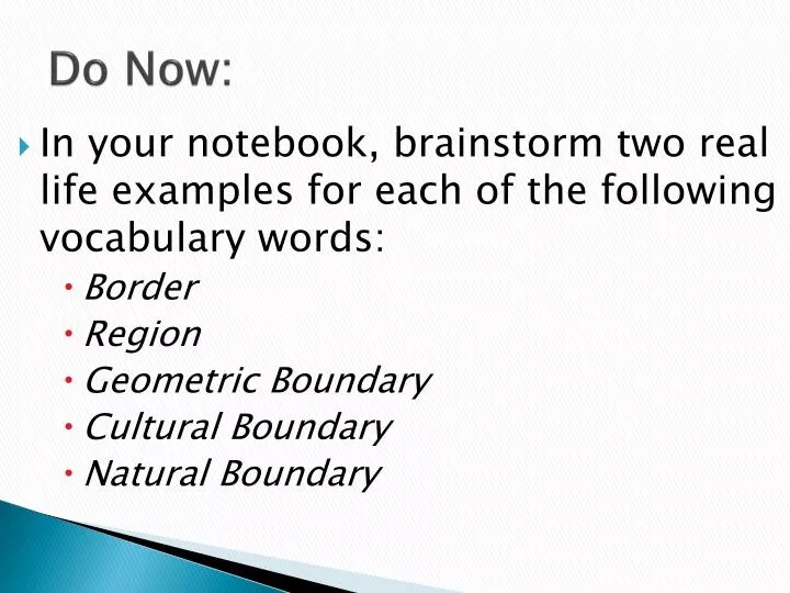
Do Now:. In your notebook, brainstorm two real life examples for each of the following vocabulary words: Border Region Geometric Boundary Cultural Boundary Natural Boundary. Creating Political Borders. As your group analyzes the maps, answer the following questions:

E N D
Do Now: • In your notebook, brainstorm two real life examples for each of the following vocabulary words: • Border • Region • Geometric Boundary • Cultural Boundary • Natural Boundary
Creating Political Borders • As your group analyzes the maps, answer the following questions: • Do you think physical features, such as rivers, are more important than cultural ones, such as language, in setting borders? Why or why not? • What would happen if you split a physical feature between two countries? Would people in the countries be able to share the land and/or resources? Or would they constantly fight over its use? • What would happen if a country had a mix of different cultural features, such as language and religion? Would this impact how the people live and work together in that country? How? • One member of your group should act as a recorder of your discussion!
Redrawing Chicago: • Same procedure as before, be sure to record your discussion! • What inequalities do you notice on the Chicago ward map based on the 2000 census? Why do you think the politicians at that time made the choices they did to draw the map in that fashion? Which group of people was the most hurt by the 2000 census based map? • Based on the 2010 census, what groups of people have the biggest claim to an increased number of alderman or more equity in the drawing of the new ward map? Why do you think the migration happened the way they did from 2000 to 2010? Are there any new geometric or natural boundaries that should be considered as you create a new ward map? • What was your main goal in creating the new map? Why did you choose this as your main focus? What groups will be happy with your map and what groups will be upset? Why do you think your map is a proper representation of Chicago’s cultural and ethnic dimensions?