Download
1 / 15
150 likes | 222 Views
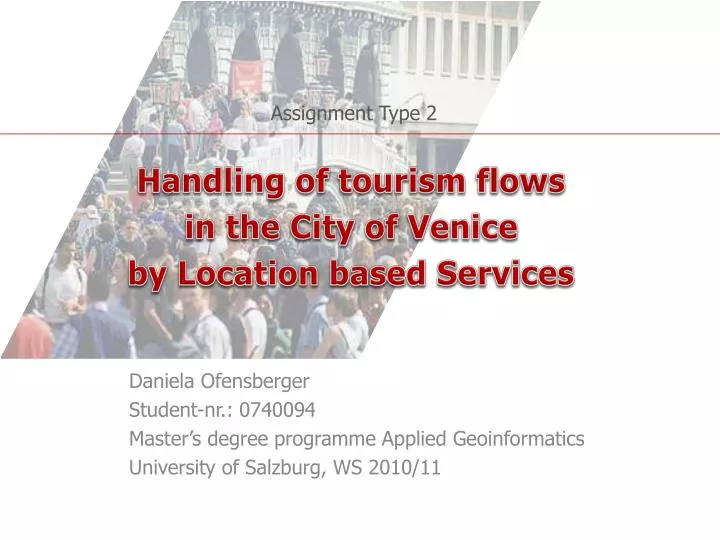
Assignment Type 2. Handling of tourism flows in the City of Venice by Location based Services. Daniela Ofensberger Student-nr.: 0740094 Master’s degree programme Applied Geoinformatics University of Salzburg, WS 2010/11. Table of contents. Concept The information-system behind

E N D
Assignment Type 2 Handling of tourism flows in the City of Venice by Location based Services Daniela Ofensberger Student-nr.: 0740094 Master’s degree programme AppliedGeoinformatics University of Salzburg, WS 2010/11
Table ofcontents Concept The information-systembehind Usecase Situation at Hot Spots SmartMapprocessing Financing & charges Access limitationstoVenice? Advantages & disadvantages
Concept Concept::: RFID WhenthetouristsarriveatVenice (bytrainorbytheferry) theyhaveto pass a station, wheretheytaketheRFID-card (sizeof a creditcard, the RFID-tag isimplemended) • Theycanwearthiscardanywheretheyliketo(in a pocket, backpack, etc.) • The RFID-tags areidentifiedbyreaders, positionedatspecificlocations (seenextslide). When a tag isrecognized, thereaders in thenextneighbourhoodbecome resistent tothe ID ofthis tag toprevent (wrong) repeatedrecognitions in an area. tag reader neighbourhood
Concept Concept::: RFID The RFID-readersarelocated in thestreets forming a netofreadersoverthewhole street-system (every 50m formoreexactlocation) net on therightatscale 10:1 Every readerhas an ID-number! Theyarelocated on eachsideofthestreetto preventtheabsorbingeffectof human bodies!
Concept Concept::: VeniceSmartMap • The VeniceSmartMapshowstheplaces in thecity, where an amountofpeopleislocated. Based on thisinformation, theusercanchooseotherdestinationsofinterestandotherwaystogothere. Optional theshortest route to a destinationcanbecalculated (bythesystemand not bythedevice). • Thresholdssignalize different grades ofcrowding. Itneedstobedecidedbylocalresponsiblepersons, whichnumberofpeopleproducesthethresholds!! Crowdedmeans: • savety-standardscan‘tbeobeyedanylonger, • quality-lossofsights, • thetourismflowstops, • otheraspects manypeople beginning crowding crowded
Concept Concept::: VeniceSmartMap • The mapisgenerated out ofthecollected RFID-data, which was transmittedto a serverbefore (theresponsibilityfortheserverhasthemunicipalityofVenice, thetouristbureauorany private institution). • Becauseofthereader-ID, thesystem (presentedlater) knows, wherethereader, whichtransmittedthedata, islocatedandcanadaptthecrowding-informationfortherequestinguser.
Concept Concept::: Devices The informationisgenerated, whenresidentsandtouristsretrieveitby: • Smartphones. Localscandownloadtheapplication on the Web Site oftheresponsibleinstitutionfortheserver; touristsusethe Web Site wheretheybookedthetraveltoVenice. The application... • contains a base-mapofthecity • isabletoreceivethe real time informationfromtheserveraboutthecrowdingoftheplaces in thecity (→densitymap) orcalculationsforthe optimal route • is GPS-capable • containsdifferentpointandline-information-layers, such aspublictransport, sights, restaurants, informationpoints, medicalstations etc. canbechosenbythe different groupsofinterest. Fromtheselayers, destinations (andthe route) canbechosen. Thereis an additional indeximplemented, whichliststhepublicservicesbytheirnames. If a resident likestogotothetown hall, he/shechoosesthedestinationand a point-objectandtheshortest route will begenerted in themap. • Extension: voicerecognition (forolderordisabledpeople) • The peoplewhodon‘thave a Smartphone receive a similardeviceatthestation/ responsibleinstitution, togetherwiththe RFID-card.
System The information-systembehind: Pleaseclicktostartanimation! Radio-waves Webservice - Reader-ID - Amountofsignals per second (peoplepassingby) • Location (GPS) • (possibly) thedesti- • nationofinterest GIS Service request tourist/ resident Service response • Goal: Reducingasmuchcomplexity • aspossiblefortheuser! • densitymap • (possibly) theshortestpath • calculatedfromthe GPS-location RFID-Card RFID-Reader Server • - Calculatingdensity in time and • (if a destination was defined) • shortestpathtodestination
Usecase Usecase::: a tourist...
Hot Spots Situation at Hot Spots • Some famous places in the city are obviously not going to be “crowd-free“ for a longer time during a day. On these places, the crowd has to be directed in a specific direction to “keep the crowd-flow going“. Supporting are an improved technology or (audio) guided-tours (extension for devices). • The people need to pass an access-point (which goes conform with RFID-technology, positioned at points where streets are leading in) to get in the flow. Of course they can stop for a moment in the crowd to enjoy the sight. If a threshold is reached, no more people get access, until the flow is going again. • If “new” people choose these famous places as destination despite of crowding (everybody decides on their own when they like to see the sights), the user gets information about how long he has to wait at the chosen access-point. • Famous places and the flows create a smaller system in the entire flow-system of Venice. Pleaseclicktostartanimation! Time isgoing on -beginningcrowdingistakingplace; thecrowdisgoingtobedirected... ...andthesystemopensthe northern access-pointsagaintokeeptheflowgoing + directing. beginning crowding manypeople More andmorepeoplearepassingaccess-points... crowded Somepeopleareleavingtheplace... Max. crowding – accessisstopped
Hot Spots Situation at Hot Spots • Crowding certainly happens at public transport stations too. In these situations, the information-system is able to send a message to the public transport service and more boats are offered for the users. Pleaseclick on thebuttontogo on.
Usingthemap VeniceSmartMapprocessing: manypeople 4) Calculating route In situationslike shownhere, the publictransport- servicereceives an information forstation Nr. 77: 3) Receivingdata 1) Myposition 2) Mydestination Ifnoother route ispossible, yellowishareasareprefered The usercanchangethe route bydragging The destinationis not the final one, but shouldleadto the optimal access-point beginning crowding crowded myposition mydestination 77 Hopefullynewboatsare goingtoarrivesoon!
Financing Financing & charges • Financing and Charges: Residents don’t have to pay – the system is financed by the visiting tourists. They have to pay a low amount of money (≤ 5€). The charge is included in the transfer ticket-prize to Venice.
Limitations, advanges Access limitations to Venice? • After a perioditisdecided, ifgeneralaccess-limitationsforVeniceareestablished(thebooking-numbersaregoingtobe limited). Advantages/disadvantages of the system • Primary • Limitationstocrowding = moresprawlingofpeople = increasingresidence-quality • Orientation ofusers • Dynamic: Applicationandsystem extensible • Secondary • Guaranteeofsafety in thecity • Limitationstodamageofobjects in thecity due tocrowding • Tourists/ residents‘ acceptance? • Acceptanceofcosts?
Sources: Slide 4, 10 & 12: Goolge (2011): Base mapofVenice. <http://maps.google.at/maps?hl=de&tab=wl> (updated: 2011) (access: 2011-01-28)