Download
1 / 39
410 likes | 641 Views
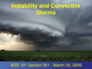
The Analysis of Convective Storms. Thermodynamic Diagrams. There are three desirable characteristics of atmospheric thermodynamic diagrams: The area enclosed by any cyclic process should be proportional to energy or work. The more straight lines the better.

E N D
Thermodynamic Diagrams There are three desirable characteristics of atmospheric thermodynamic diagrams: • The area enclosed by any cyclic process should be proportional to energy or work. • The more straight lines the better. • The angle between isotherms and dry adiabats should be as large as possible.
Emagram—Abscissa is T, ordinate is proportional to lnp. (From energy/mass). Tephigram—Abscissa is T, ordinate is logarithm of potential temperature, sometimes diagram is rotated (From T-phi) Stuve—Abscissa is T, ordinate is Area is not proportional to energy. Skew T-ln p—Similar to emagram, but temperature lines are skewed to increase the angle with dry adiabats.
Convection Parameters • Lifted Condensation Level (LCL) – level at which a parcel lifted from the surface will saturate • Convective Condensation Level (CCL) –level at which a parcel from the surface heating to its convective temperature will saturate • Convective Temperature – the temperature that the surface layer would need to be heated to to convect
Convection Parameters (cont.) • Level of Free Convection (LFC) – level at which a lifted parcel becomes warmer than its surroundings, and hence buoyant. • Equilibrium Level (EL) – level at which a previously buoyant parcel’s temperature again equals the environmental temperature. This is an approximate height for thunderstorm anvils.
Convection Parameter (cont.) • Convective Inhibition (CIN) – the “negative” energy area below a parcel’s level of free convection. • Convective Available Potential Energy (CAPE) – The “positive” energy area where a parcel is accelerating upward. • Downdraft Convective Available Potential Energy (DCAPE) – The negative energy area where a parcel can be accelerated downward evaporative cooling.
Stability Parameters All indices are useful diagnostics but should not be used blindly • Lifted index (LI) • Showalter index (SI) • Total totals (TT) • Severe Weather Threat Index (SWEAT) • Bulk Richardson Number • Storm Relative Helicity
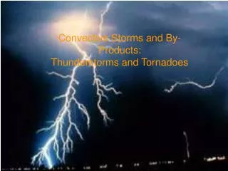
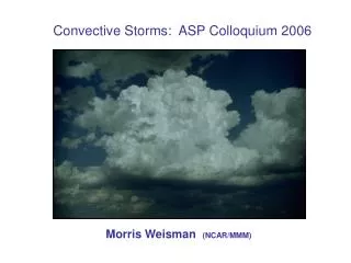
Thunderstorm Types • Single cell (pulse)—can be strong, but no severe • Multicell—can be severe, but don’t generate strong tornadoes • Supercell—rotating updraft, most severe storms