Download
1 / 5
50 likes | 101 Views
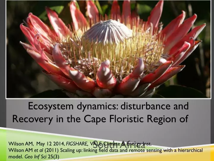
Ecosystem dynamics: disturbance and Recovery in the Cape Floristic Region of South Africa. Wilson AM, May 12 2014 , FIGSHARE , VALE Climate & Energy Inst .

E N D
Ecosystem dynamics: disturbance and Recovery in the Cape Floristic Region of South Africa Wilson AM, May 12 2014, FIGSHARE, VALE Climate & Energy Inst. Wilson AM et al (2011) Scaling up: linking field data and remote sensing with a hierarchical model. Geo Inf Sci 25(3)
DATA SOURCES Burned areas from field & satellite ~1980 to present Topography 90m LANDSAT (satellite) Vegetation Index 30m * 1970 to present MODIS (satellite) Vegetation Index 250m* 2000 to present Daily temp and precipitation (gridded) 10km* 1950 to present Biomass measurements 2x3m quadrts0.1-12ha plots, 2009-10 (*resolution spectral bands) Antarctic Ocean Oscillation cycles CLOUD COVER index. Research Q: How does FIRE FREQUENCY vary in space and time?
biodiversity index Inclthe3 major INVASIVE species (Aus. Acaciaand Wattle) maturity index for Fynbos, NOT necessarily related to veg height/density land use index “dispersal corridor”: (lack of) veg cover; arson, decr. link between veg quality/age with fire cause/frequency GROUNDTRUTHING database correlate date, rainfall, fire, topography, species cover (density, diversity, alien spp) visible land markers with LANSAT spectrometry [~~ digital age SAPIA!] Further research Q: Fynbos conservation model (Wilson fire frequency ratio+ biodiversity + maturity + land use index)
Sonoran Desert EPA Level IV Ecoregions - ESRI 2010 MAP Shortwave Infrared & Topographic – ESRI 1989-2010 Ecoregions – SANBI 2005