Download
1 / 11
110 likes | 259 Views
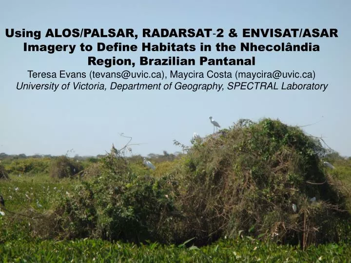
Using ALOS/PALSAR, RADARSAT‐2 & ENVISAT/ASAR Imagery to Define Habitats in the Nhecolândia Region, Brazilian Pantanal Teresa Evans (tevans@uvic.ca), Maycira Costa (maycira@uvic.ca) University of Victoria, Department of Geography, SPECTRAL Laboratory.

E N D
Using ALOS/PALSAR, RADARSAT‐2 & ENVISAT/ASAR Imagery to Define Habitats in the Nhecolândia Region, Brazilian Pantanal Teresa Evans (tevans@uvic.ca), Maycira Costa (maycira@uvic.ca) University of Victoria, Department of Geography, SPECTRAL Laboratory
Abstract — The Brazilian Pantanal is a large continuous tropical wetland with large biodiversity and many threatened habitats. The interplay between the distribution of vegetation, the hydrology, the climate and the geomorphology nourishes and sustains the large diversity of flora and fauna in this wetland, but it is poorly understood at the scale of the entire Pantanal. This study uses multi-temporal L-band ALOS/PALSAR and C-band RADARSAT-2 and ENVISAT/ASAR data to map ecosystems and create a lake distribution map of the Nhecolândia region in the Brazilian Pantanal. A Level 1 object-based image analysis (OBIA) classification defining fresh and brackish lakes was achieved with accuracy results of 98%. A Level 2 classification separating two types of fresh lakes and brackish lakes achieved with accuracy results of 81%. The preliminary analysis of distribution of lakes in relationship to the marsh deer distribution showed that during the dry season, the marsh deer are in close proximity to permanent waterways such as the Rio Negro (Southern border of Nhecolândia) and the Rio Taquari (North-western border of Nhecolândia). During the flood season the deer begin to migrate away from the more deeply flooded low-lying areas and into the shallower, seasonally flooded areas, following the flooded/dry interface. However, the deer do not migrate into the central part of Nhecolândia, suggesting that the aquatic vegetation found in the baías alone is not enough to sustain the deer’s diet, regardless of season. • Index Terms—ALOS PALSAR, K&C Initiative, Wetlands Theme, Pantanal, wildlife habitats.
Study Area – Nhecolândia Region The Brazilian Pantanal
Open Grassland Savanna Seasonal Wet Meadow Vazante Agriculture Open Woodland Savanna Forest Woodland Fresh Water Lake Brackish Water Typha sp. ALOS/PALSAR 12.5m HH/HV wet/dry season L-band ENVISAT ASAR 12.5m HH/HV wet season C-band RADARSAT-2 25m HH/HV dry season C-band
Overall accuracy 83% - largest confusion between: • Seasonal Wet Meadow, Vazante and Lake, • Open Grassland Savanna and Agriculture
LAKE BACKSCATTERING VARIABILITY AND GEOCHEMISTRY - Overall accuracy classifying fresh and brackish water 98% - further splitting lakes to 3 classes – 81%
Final Product – the only fine spatial resolution, detailed habitat distribution map of the region, including the spatial distribution of the three types of lakeWill be used for:1) ongoing local habitat studies in the region (marsh deer, jaguar)2) Baseline data for monitoring3) Important information to aid in defining conservation areas
Acknowledgements Ancillary Data SAR Imagery FUNDING! Questions? FOR MORE INFORMATION… Contact me (Teresa Evans) email: tevans@uvic.ca Or visit my website: http://mapping.uvic.ca/spectral/our_people/t_evans