Download
1 / 24
270 likes | 521 Views
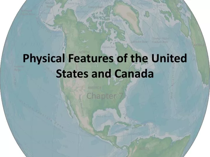
Physical Features of the United States and Canada. Chapter 7. Appalachian Mountains (Blue Ridge, Catskill, and Green Mountains. New Foundland to Alabama Highest Point —Mount Mitchell at 6,684 feet (North Carolina)

E N D
Appalachian Mountains (Blue Ridge, Catskill, and Green Mountains • New Foundland to Alabama • Highest Point—Mount Mitchell at 6,684 feet (North Carolina) • Formed during the collision of North America and Africa over 300+ million years ago
Piedmont • Plateau region stretching from New Jersey to Alabama • 80,000 square miles and up to 300 miles wide • Low, rolling hills ranging from 200 to 1,000 feet high • Remnant of several ancient mountain ranges
Rocky Mountains • 3,000 + miles long (British Colombia to New Mexico) • Highest point—Mount Elbert in Colorado at 14,440 feet high • Formed 76 million years ago by colliding plates (subduction)
Mount McKinley • Alaska (Alaska Range) • Highest mountain in the North America at 20,320 feet high • Subduction of the Pacific plate underneath the North American plate
Sierra Nevada Mountains • 400 miles long and 70 miles wide • Highest point: Mount Whitney at 14,505 feet (highest point in contiguous US) • Began to form about 4 millions years ago
Cascade Range • British Colombia to California • Part of Pacific Ring of Fire • Highest point: Mount Rainier at 14,411 ft • Series of volcanoes
Death Valley • Located in the Mojave Desert • Lowest, driest, and hottest area in the United States • 282 feet below sea level • Highest recorded temperature: 134° F
Great Plains • Sub-region of the interior plains • South-central Canada into Texas and Mexico • 501,933 sq mi • Prairie, steppe, and grassland
Interior Plains • Deposits from the eroding Rocky Mountains • Many lakes formed by glaciers during the last ice age. • Rolling hills, many river systems, and productive soils
Mississippi River • Largest river system in the United States • 2,320 miles long • Flows into Gulf of Mexico
Great Lakes • Freshwater lakes • 80,545 sq miles-surface • Created from glacial retreat • 21% of Earth’s surface freshwater
Canadian Shield • Arc of ancient rock covered by a thin layer of soil • Scraped by glaciers leaving a rough rocky landscape • 8,000,000 sq km • Originally a very mountainous area • Overtime, erosion has caused the area to become flat.
Continental Divide • Divides North America’s major river systems into those flowing eastward and those flowing westward.
Pacific Ring of Fire (25,000 miles) • Tectonically active region around the edges of the Pacific. • 75% of the world’s volcanoes and 90% of the world’s earthquakes
Rio Grande • Natural boundary between Mexico and the US • 1,896 miles long • 182,200 sq mi watershed
Lake Okeechobee • Lake Okeechobee is the largest freshwater lake in Florida • 730 square miles • 9 feet deep
Colorado River • 1,450 miles long • Watershed is 246,000 sq mi • Flows west out of the Rocky Mountains and empties into the Gulf of California
Grand Canyon • Steep-sided canyon • Created by plate tectonics and the Colorado River • 277 miles long • Up to 19 miles wide • 6,000 feet deep
Ohio River • Largest tributary, by volume, of the Mississippi River • 981 miles long • 189,422 sq mi drainage basin
Missouri River • Tributary of the Mississippi River • Longest river in North America at 2,540 miles long • Important for trade and transportation
Bering Strait • Strait—narrow, navigable channel of water that connects two larger navigable bodies of water. • Sea strait between Russia and Alaska • 53 miles wide • 98—160 feet deep
Hudson Bay • Northeastern Canada • 470,000 sq mi—2nd largest in the world. • 330 ft deep • Connected to Arctic and Atlantic Ocean Ice beginning to form in early November.