Download
1 / 17
170 likes | 296 Views
Ocean Vector Winds, Looking Toward the Future. Aimee Fish, NWS Alaska Region Satellite Surface Vector Winds Requirements Workshop June 6, 2006. Service Improvement. When Dr. Paul Chang flies over the Gulf of Alaska… NWP model performance improves. Requirement.

E N D
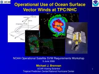
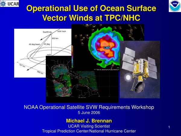
Ocean Vector Winds, Looking Toward the Future Aimee Fish, NWS Alaska Region Satellite Surface Vector Winds Requirements Workshop June 6, 2006
Service Improvement When Dr. Paul Chang flies over the Gulf of Alaska… NWP model performance improves
Requirement Dr. Paul Chang flies over the Gulf of Alaska (and even the Bering Sea) all the time! But seriously...
World & US Economic Impacts Oil Jan-Aug 2005: 878,000 barrels/day Tankers carry crude from Port of Valdez Source: Energy Information Administration, US DOE
World & US Economic Impact 1/3 of the total US fishing income Source: State of Alaska
World & US Economic Impacts Shipping The Great Circle Route connects North America with Asia
World & US Economic Impacts Air Cargo in Anchorage 70% of all Asia-Europe 95% of all Asia-US Source: Anchorage Chamber of Commerce
All NOAA & All Hazards • Oil and Chemical Spills • Require precise direction and speed • Support of Fisheries and Subsistence • Sea Ice • Marine forecasts • Coastal Erosion
Coastal Erosion • Remotely sensed wind is necessary where ice prohibits buoys
Other Stakeholders • Search and Rescue • USGC (even pilots use marine fx) • State Agencies • Vessel Owners/Operators • Monitoring/tracking vessels and weather conditions • Insurance Companies • Petroleum Industry
The Mantra • Higher Resolution • Spatial • Temporal (more passes) • Closer to the coast • Particularly key in SE Alaska
Data Quality • Improve higher and lower wind speed • Tighten up the directional error • Rain contamination
GFE Compatible • Smart Tools • Initialize wind field • Nudge to QuickScat • Initialize surface pressure field • AK GFE resolution: 3.1 to 6.2 km
Couple SAR and QuickSCAT • Combine vector capability of QuickScat with resolution of SAR • Use one to improve the other
“Small Hat” Website Items • Northern Latitude tilt • Archive Search • Why Julian Day? • Distance Scale on graphics