Download
1 / 25
250 likes | 376 Views
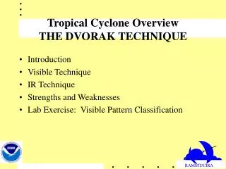
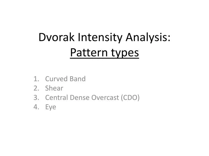
Dvorak Intensity Analysis: Pattern types. Curved Band Shear Central Dense Overcast (CDO) Eye. Examples of Curved Band Pattern. Curved Band – Tropical Storm IRENE. GOES-12 Visible image 1315 UTC 11 Aug 2005. Curved Band – Tropical Storm KATRINA. 1645 UTC 24 Aug 2005.

E N D
Dvorak Intensity Analysis: Pattern types Curved Band Shear Central Dense Overcast (CDO) Eye
Curved Band – Tropical Storm IRENE GOES-12 Visible image 1315 UTC 11 Aug 2005
Curved Band – Tropical Storm KATRINA 1645 UTC 24 Aug 2005
Curved Band – Tropical Storm OPHELIA MODIS Truecolor image 1700 UTC 28 Sep 2011
Shear Pattern – Tropical Storm HARVEY 2045 UTC 5 Aug 2005
Shear Pattern – Tropical Storm HARVEY 1245 UTC 5 Aug 2005
Shear Pattern -- Tropical Depression “ pre- KATIA” 1510 UTC 29 Aug 2011 Note: also may be classified as Curved Band pattern, at this early stage
CDO pattern – Tropical Storm IRENE 1115 UTC 14 Aug 2005
CDO Pattern – Hurricane IRENE 1845 UTC 15 Aug 2005
CDO Pattern – Tropical Storm KATRINA 1715 UTC 25 Aug 2005
CDO Pattern – Tropical Storm Katrina 1815 UTC 25 Aug 2005 Note: first classified as hurricane (65 kt) just after this image (21 UTC Advisory)
CDO – Tropical Storm PHILIPPE MODIS truecolor image 1535 UTC 26 Sep 2011
CDO Pattern – Hurricane Katrina 2045 UTC 26 Aug 2005
CDO Pattern – Hurricane KATRINA 2015 UTC 26 Aug 2005
Eye Pattern – Hurricane IRENE 1445 UTC 16 Aug 2005
Eye pattern – Hurricane KATRINA 1715 UTC 28 Aug 2005 Note: Cat 5 hurricane intensity at this time
Eye Pattern – Hurricane KATRINA 1845 UTC 28 August 2005
Eye Pattern – Hurricane GUSTAV MODIS Visible image 1910 30 Aug 2008
Eye Pattern -- Hurricane DEAN NOAA-18 AVHRR Visible image 1852 UTC 19 August 2007
Eye Pattern – Tropical Storm Ophelia 1440 UTC 29 Sep 2011 Note: this is referred to as a “banding eye” defined as the inner cloud minimum area of an extensive spiral band.
Eye Pattern -- Hurricane FELIX GOES visible image at 1 km res -- 2015 UTC 3 Sep 2007 Note: very small eyes are sometimes referred to as “pinhole” eyes