Download
1 / 16
160 likes | 294 Views
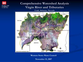
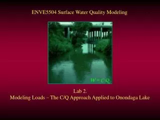
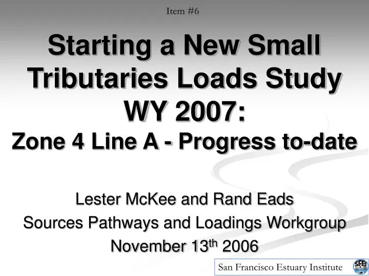
San Francisco Estuary Institute. Item #6. Starting a New Small Tributaries Loads Study WY 2007: Zone 4 Line A - Progress to-date. Lester McKee and Rand Eads Sources Pathways and Loadings Workgroup November 13 th 2006. Regional. Watershed. Sewershed.

E N D
San Francisco Estuary Institute Item #6 Starting a New Small Tributaries Loads StudyWY 2007:Zone 4 Line A - Progress to-date Lester McKee and Rand Eads Sources Pathways and Loadings Workgroup November 13th 2006
Regional Watershed Sewershed Spatial scales for monitoring anthropogenic influence on the earth system“spatial libra pro monitoring anthropogenic duco in orbis terrarum ratio” • Water and sediment production per unit area varies by orders of magnitude between watersheds of different sizes • Large ≈ less steep ≈ lower drainage density ≈ greater storage • Small ≈ high hillslope and stream gradient ≈ high drainage density ≈ less storage • Our studies cover the 4 main scales: • Large Rivers (Sacramento/ San Joaquin Rivers = 154,000 km2) • Small Tributaries (10s km2 - 1,660 km2) • Sub-watersheds / Storm drain outfalls (10s ha – few km2) • Urban BMPs (<1 – 10s ha) San Francisco Estuary Institute
Contaminants are in Close Proximity to Drainage Lines Ettie Street PS Sewershed Coyote (Modern) Coyote (Historic) San Francisco Estuary Institute
San Francisco Estuary Institute Item #6 Selection of a new location to study • San Lorenzo Creek at San Lorenzo (Zone 2 Line B) • Estudillo Canal • Colma Creek at South San Francisco • Zone 4 Line A • Castro Valley Creek at Hayward • Laurel Creek at Hillsdale • Wildcat Creek at Vale Road
San Francisco Estuary Institute Item #6 Zone 4 Line A - Hayward • 4 km2 • 25% industrial • 25% commercial • 50% residential • No upland clean sediment
A San Francisco Estuary Institute Item #6 What does no upland sediment supply mean?
Zone 4 Line A (1.5 hrs) City Block (12 min) Time of Concentration in Bay Area Watersheds Guadalupe R. (8-10 hrs) (4 acres) (40 acres) (Ref: McKee et al., 2003) San Francisco Estuary Institute
San Francisco Estuary Institute Item #6 Progress to-date • Technical Review Committee approved the study June 27th, 2006 and subsequently approved by the Steering Committee • McKee and Eads completed reconnaissance August 23rd, 2006 • Encroachment permit issued by Alameda County (assistance from Arleen Feng) • Equipment purchase and prefabrication completed Friday November 3rd, 2006!
San Francisco Estuary Institute Item #6 Location and Equipment
San Francisco Estuary Institute Item #6 Location and Equipment
San Francisco Estuary Institute Item #6 Location and Equipment
San Francisco Estuary Institute Item #6 Location and Equipment
San Francisco Estuary Institute Item #6 Location and Equipment
San Francisco Estuary Institute Item #6 Location and Equipment DTS 12 Turbidity probe
San Francisco Estuary Institute Item #6 Location and Equipment ISCO pumping sampler Campbell Data Logger
San Francisco Estuary Institute Item #6 Bring on the wet season!