Download
1 / 21
210 likes | 413 Views
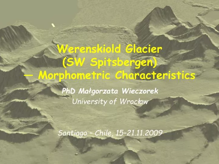
Werenskiold Glacier (SW Spitsbergen) — Morphometric Characteristics. PhD Małgorzata Wieczorek University of Wrocław Santiago – Chile, 15–21.11.2009. Introduction. What? – morphometric classification. What for? –for determining areas with similar morphometric characteristic.

E N D
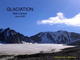
Werenskiold Glacier(SW Spitsbergen) — Morphometric Characteristics PhD Małgorzata Wieczorek University of Wrocław Santiago – Chile, 15–21.11.2009
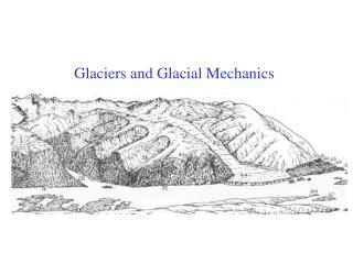
Introduction • What? – morphometric classification. • What for? –for determining areas with similar morphometric characteristic. • Where? – on the area of Werenskiold Glacier (SW Spitsbergen, Svarbald). • Why this area? – it has a great variety of elevation, also variety of surface shape is different on glacier and mainland.
Non-supervised analysis in morphometry– examples • EhsaniiQuiel (2007)use the SOM for the classification of the same morphometric parameters into ten classes characterized by morphometric position subdivided by slope rangesinPolish and SlovakCarpathian Mountains. • Gómez (et al. 2004) used ISODATA classification methodof the MDTM for detecting class characteristics on the Guadix-Baza basin (S of Spain). • Arrellet al. (2007) – used k-mean metod forextracting the morphometric classes present in the study areaby examination of the first and second derivatives ofelevationfrom DEM of Snowdonia (Wales).
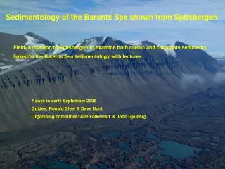
INPUT DATA DEM of Werenskiold Glacier. Resolution: 10 m × 10 m. The size of the area: 15 km × 18 km
RELATIVE ELEVATION Evaluated from DEM in 5 × 5 raster frame
Median filtration 5-dimensional variable was obtained for 2,7 mln raster pixels. Median filter in a 5x5 frame has been applied for parameters: hi = Me({dHi(1), …, dHi(25)}) (1) si = Me({slopei(1), …, slopei(25)}) (2) ciprof = Me({profi(1), …, profi(25)}) (3) ciplan = Me({plani(1), …, plani(25)}) (4) And for aspect : ai = arc(mean vector({aspecti(1), …, aspecti(25)}))(5)
Cluster analysis Cluster analysis as theexample of an unsupervised method. Requirements: • the result of classification should not depend on the distribution of morphometric variables • the method must handle directional variables.
k-median metod k-median method with Manhattan metric fulfil the criteria. Cluster analysis was performed by software prepared specially for this classification. The area of Werenskiold Glacier and its surroundings has been classified from 4 to 9 classes.
Results • Each classification is a proposal of a different morphometric view in a given generalization rate. • Apart from the number of classes, in all results the boundary between the glacier and the hills is sharply outlined. • Depending on the number of classes the given classification result may be a base for further research on different generalization level. • It is very hard to assign a specific name (peak, ridge, plain, etc.) to a class. Sometimes it is even useless, because the matter is to make a quantitative not qualitative classification. • For adequate big number of classes the division is more detailed.
k = 5 k = 7 k = 6 k = 9
Conclusion • k-median classification is an example of automated and object-oriented analysis needed at the beginning of terrain exploration, specially these less accessible. • Further planned morphometric analyses and method developing are related to operating on the glacier area and the land area separately. • Classification method results may also be clues for generalization, when the selection of the most important shapes of an area is needed. • The generalization rate of the classes in such method depends on the number of classes, model resolution, its size and internal variety.