Download
1 / 6
60 likes | 218 Views
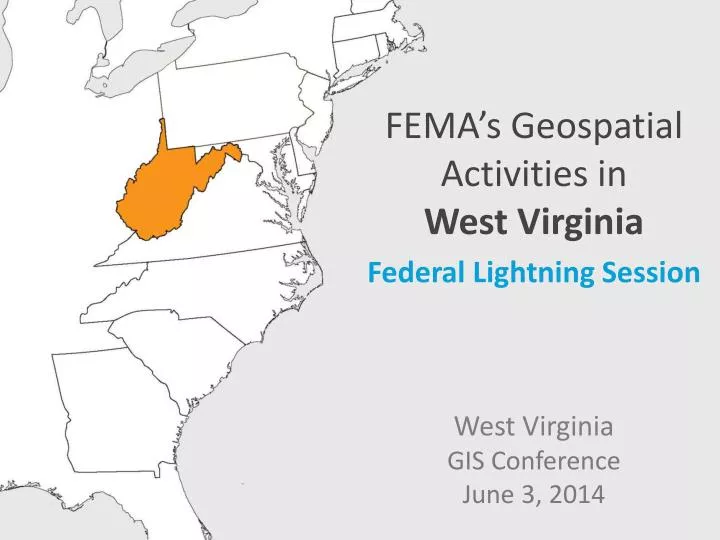
FEMA’s Geospatial Activities in West Virginia Federal Lightning Session West Virginia GIS Conference June 3, 2014. Introductions. Cynthia McCoy Risk Analyst at FEMA Region III Mitigation Division: Risk Analysis Branch Flood Hazard Mapping , Mitigation Planning , Risk Assessment

E N D
FEMA’s Geospatial Activities inWest Virginia Federal Lightning Session West Virginia GIS ConferenceJune 3, 2014
Introductions Cynthia McCoy Risk Analyst at FEMA Region III • Mitigation Division: Risk Analysis Branch • Flood Hazard Mapping, Mitigation Planning, Risk Assessment • HAZUS Point of Contact • GoalReduce loss of life and property by lessening the impact of disasters.
WV Risk MAP Upcoming Project - Upper Monongahela Watershed (HUC 8 05020003) Marion, Monongalia, Preston, Taylor and Wetzel Counties Discovery Meetings: • Monday June 9, 2014 – 2:30-6:30 1-79 Technology Park, Robert H. Mollohan Research Center, Exhibition Hall, 1000 Galliher Dr., Fairmount WV • Tuesday June 10, 2014 – 2:30-6:30 West Virginia University, Dept. of Geology & Geography, 325 Brooks Hall, 98 Beechurst Ave., Morgantown WV
Upcoming HAZUS Training in WV FEMA Region III E172 HAZUS for Flood Training For FEMA Region III Federal, State, County, Local Gov. & University partners7Seats currently available!!! Contact Cynthia McCoy - cynthia.mccoy@fema.dhs.gov if interested Attention: A representative from each Regional PDC is expected to attend. Should have GIS technical skills Required by the WVDEM, State Hazard Mitigation Officer 4 day Course at WVUJuly 28-31, 2014 Day 1-3E172 HAZUS for Flood training course Day 4Interactive session with dynamic discussion, on how to develop strategies for Statewide data coordinationand tangible tasks in which HAZUS can be used to inform real projects, and improve risk awareness in WV.
WV Statewide Geospatial Data Coordination • Goal: Evaluate the location of GIS datasets throughout the State • Can be utilized to inform decision making in the fields Emergency Management, Risk Assessment, Hazard Mitigation, Climate Adaptation and Urban Planning. • Completed - First Step: Perform State Level Gap analysis • Participants – WVDEM, WV Geographic Information Officer (GIO), West Virginia University GIS Tech Center • Starting Today- Second Step: Outreach to the Local Governments Regional Planning Commissions • Assess level of data maintained at the local level • Proposed End Result • Use for State and Local Analysis and Mitigation Planning • Use for Response Activities • Develop projects/analyses which qualify for CRS credit
Contact Cynthia McCoy FEMA cynthia.mccoy@fema.dhs.govPhiladelphia, PA 215.931.5530