Download
1 / 10
100 likes | 256 Views
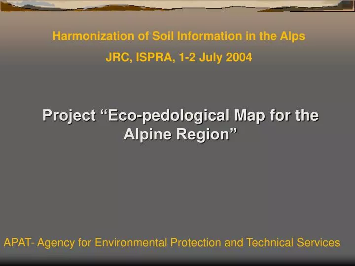
Harmonization of Soil Information in the Alps JRC, ISPRA, 1-2 July 2004. Project “Eco-pedological Map for the Alpine Region”. APAT- Agency for Environmental Protection and Technical Services. SUMMARY. 1. The Alpine Convention context. 2. Ecopedological map project proposal.

E N D
Harmonization of Soil Information in the Alps JRC, ISPRA, 1-2 July 2004 Project “Eco-pedological Map for the Alpine Region” APAT- Agency for Environmental Protection and Technical Services
SUMMARY 1. The Alpine Convention context 2. Ecopedological map project proposal 3. Preliminary APAT approach 4. Actual approach 5. Aims and connections APAT- Agency for Environmental Protection and Technical Services
1. The Alpine Convention context In the framework of the Alpine Convention, it has been several times underlined: ·the need to rely on information and data on the state of the environment and on socio-economic conditions of the alpine area · the importance to provide a sound basis to any political, normative and financial decision aimed at promoting a sustainable development. The IIIrd Alpine Conference (Chambery, France, 1994) started the process for the creation of a observation system of the alpine region (“System of Observation and Information of the Alps” – SOIA), giving the task to a proper Working Group. APAT- Agency for Environmental Protection and Technical Services
During the VIth Conference of the Alps (Lucern, Switzerland, 2000), within the activities of SOIA Working Group, ·the project for the Eco-pedological Map of the Alpine region was approved ·Italy was charged of the coordination of the project, as the proposal came from the Italian Ministry of Environment. APAT- Agency for Environmental Protection and Technical Services
2. Ecopedological map project proposal A first document (project sheet) setting Objectives and Expected results was proposed and approved during the 9th SOIA Working Group Meeting held in Monaco (Principality of M.) on July 2002. The project was aimed at supporting, through sound information, the definition of rules and actions for: ·proper land use choices ·soil protection ·erosion control ·reclamation of degraded areas (i.e. contaminated soils). The project proposal focused on the objective of: · setting up a database on soil information ·integration with other environmental data (vegetation, geology, geomorphology, land use, etc.). APAT- Agency for Environmental Protection and Technical Services
The following results were expected: · collection and critical analysis of the available data · harmonization of the legends concerning various topics and particularly soil information · configuration of a specific Geographic Information System for consultation and elaboration of the data ·elaboration of thematic maps as instruments for decisions in land use and environmental policy. In August 2002 the Italian Ministry for the Environment and Territory drew up a specific agreement with the Agency for Environmental Protection and Technical Services - APAT, charging it to work out the project in cooperation and with the support of: ·the Regional Environmental Protection Agencies · other technical and scientific institutions, particularly the Centro Studi Val d’Ossola (Domodossola) of the Catholic University of Milan. APAT- Agency for Environmental Protection and Technical Services
3. Preliminary APAT approach APAT first approach was to take direct contacts with experts and delegates from the different countries of the Alpine Region. The setting-up of an Interreg project was tried with the cooperation of ARPA Veneto, the only regional environmental agency already involved in soil mapping projects. This approach resulted unsuccessful because of the restricted time available for project presentation and owing to difficulties in finding financial support within the different countries. APAT- Agency for Environmental Protection and Technical Services
4. Actual approach In late 2003 a new approach and strategy has been tried. APAT charged ARPA Veneto, with the support of the European Soil Bureau Network and the cooperation of Centro Studi Val d’Ossola, to: work directly on a project proposal take into account the limited but reliable financial resources assured by the Italian Ministry for the Environment. The budget could not assure the funds needed to draw up a final and exhaustive draft of the map in scale 1:250.000. APAT- Agency for Environmental Protection and Technical Services
Nevertheless, it gives the possibility to: create a network among regional and national institutions aimed at setting on and updating a shared soil database define criteria and procedures and prepare a prototype of the map and database. The first point is carried out with the approach of Pilot areas, located across the national borders. This new strategy is considered particularly important, since it tries to set up a continuous and participating process among institutions which own and manage soil data. At the same time, the limited budget precludes the performance of all the objectives and expected results described in the first project sheet. These could be eventually reached through a prosecution of the project activities, once obtained additional financial resources (i.e Interreg program). APAT- Agency for Environmental Protection and Technical Services
5. Aims and connections Activities and results of this project are held as strategic with respect to the goals of SOIA Working Group and Alpine Convention in general as introduced by several Protocols (Land use planning and sustainable development, Mountain forests, Mountain Agriculture, etc.), first of all the one on Soil conservation (soil erosion and compaction caused by mountain agriculture and forest management practices, soil contamination, soil sealing, etc). Recently (Munich, June 2004), the contribute of this project has been underlined as a support to the Alpine Convention Working Group “Environmental Objectives and Indicators” (soil erosion, soil acidification). Finally, an important connection can be found with the contents of the EC Communication “Towards a thematic strategy of soil protection” (2002) (soil erosion, soil organic matter conservation, soil contamination, etc.) . APAT- Agency for Environmental Protection and Technical Services