Download
1 / 56
810 likes | 1.33k Views
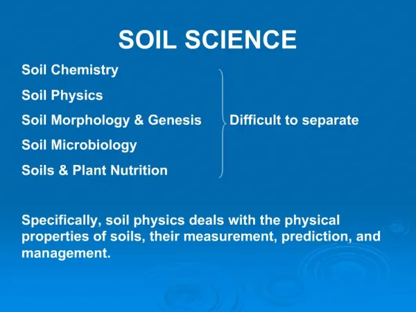
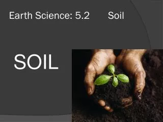
Soil Science. Horticulture/Natural Resources Sutherlin High School AST September 16, 2013. What is Soil?. Dynamic, living interface between the atmosphere and rock. Functions of Soil. Anchor and nutrients for plants Habitat for animals Recycle waste through decomposition

E N D
Soil Science Horticulture/Natural Resources Sutherlin High School AST September 16, 2013
What is Soil? • Dynamic, living interface between the atmosphere and rock
Functions of Soil • Anchor and nutrients for plants • Habitat for animals • Recycle waste through decomposition • Cleanse and store water • Engineering uses
Components of Soil • Solids • Mineral • Organic Matter • Pore Space • Water • Air
Soil Forming Factors • Climate - temperature and precipitation • Organisms - type of biology present • Relief/ Topography – where is the water, where are the people
Soil Forming Factors • Parent Material - soil minerals and particle size impact drainage and filtration • Time - influences ability of soil to extract pollutants physically and tie up nutrients biologically
Active Factors Passive Factors Soil = f(cl,o,r,p,t) • Climate • Organisms • Topography/relief • Parent Material • Time Which one can we change?
Mineral and Texture • Minerals in soil: • Sand • Silt • Clay
Mineral and Texture • Sand/Loamy Sand (Course) • Sandy Loam (Moderately Course) • Loam/Silt Loam (Medium) • Clay Loam/Sandy Clay Loam/Silty Clay Loam (Moderately Fine) • Clay/Sandy Clay/Silty Clay (Fine)
Mineral and Texture • Surface area per unit volume • 1 g sand ~ 0.1 m2 • 1 g silt ~ 1 m2 • 1 g clay ~ 10-1000 m2
Mineral and Texture Coarse textured soils larger pores Fine textured soils greater total pore space Clay Sand
Mineral and Texture Low Medium High Good Poor Medium High Slow Very slow Low Medium High
Mineral and Texture • Clay
Root zone Mineral and Texture
Horizons • Master Horizons • Special Horizons
Soil Color • Result of soil elements, organic matter, wetness
Soil Color • Described using the Munsell Color System
Soil Color • Listed as a number system • hue (a specific color) • value (lightness and darkness) • chroma (color intensity)
Soil Color • Color Characteristics • Black/dark brown: high organic matter • Brown: well-drained, aerated • Grey: wet, color-less • Red: old, well established (oxidized) • Red or Yellow: presence of iron oxides • White: leached
Soil Color • Color Categories • Black/Dark Brown • Brown/Light Brown/Yellowish Brown • Reddish Brown/Red • Grey/Light Grey/White
Soil Structure • Soil breaks down to units called peds • Particles bound together
Soil Structure • Peds come in multiple structure shapes • Blocky • Prismatic • Platy • Columnar • Granular
Soil Structure • Soil without ped structure is considered structureless • Single-grained: sands • Massive: clay layers • No natural breaks into peds
Soil Structure • Structure Grade • Ability of peds to hold together • Stronger structure grade=peds easier to see and separate from one another (clear breaks)
Soil Structure • Structure Grade Categories • Strong (very easy to see/separate) • Moderate • Weak (difficult to see/separate) • Structureless (no structure)
Mottles • Redox (reduction-oxidation) reactions • Caused by periodic or seasonal saturation of soil • Indication of wetness
Mottles • Mottles used to determine internal drainage of soil • Excessively drained soil: 40”+ of coarse/ moderately coarse • Well-Drained: No mottles in the top 40” • Moderately-Well Drained: No mottles in the top 24” • Somewhat Poorly Drained: No mottles in the top 8” • Poorly Drained: Mottles in the top 8”
Coarse Fragments • Non-soil fragments over 2mm in diameter • Coarse fragments decrease water holding capacity • Percentagecoarsefragments vsPercentage soil
Effective Depth • Ability for roots to penetrate soil depth • Inhibited by impermeable layers • Bedrock • Massive clay layer? • Durapan? • Cr?
Effective Depth • Available water calculations only matter where roots can reach • Look for root depths
Available Water Holding Capacity • Amount of water available for plants • Measured in inches water/inch of soil
Available Water Holding Capacity • A factor of texture • Values vary depending on clay content • Calculated by = Inches of soil X texture value X % soil
Soil Permeability • Speed of water’s ability to move through the soil • Affected by texture and structure grade
Soil Permeability • Surface permeability determined using the first mineral horizon (A) • Subsoil permeability determined using the slowest permeable layer above 30 inches of depth
Erosion • Erosion is a factor for the surface horizon • Wind Erosion • Only a factor in Eastern Oregon • Water Erosion • Factor of texture and slope
Erosion • Management practices affecting erosion • Vegetation • Water flow management (ditches/diversions) • Tilling vs no-till
Internal Drainage • Indicator of how often the site is saturated, and at what level • Determined by mottles • Use mottle rules
Parent Material • How did the soil form/arrive there • Residuum – resides in place • Colluvium – moved by gravity
Parent Material • Alluvium – moved by water • Old: older than 100 years • Recent: within last 100 years
Parent Material • Lacustrine – old lake bed • Wind-blown sand (eolian)/silts (loess) • Volcanic ash
Relief/Site Position • Uplands (Residuum) • Footslope (Colluvium) • Fan (Recent alluvium) • Stream Terrace (Old alluvium) • Floodplain (Recent alluvium)
Stoniness/Rockiness • Amount of large surface rocks greater than 10” in diameter
Stoniness/Rockiness • Inhibits surface tillage • None • Stony/Rocky (1 every 30 to 100 feet) • Very stony/rocky (1 every 5 to 30 feet) • Extremely stony/rocky (more than 3% of the surface)