Download
1 / 15
150 likes | 265 Views
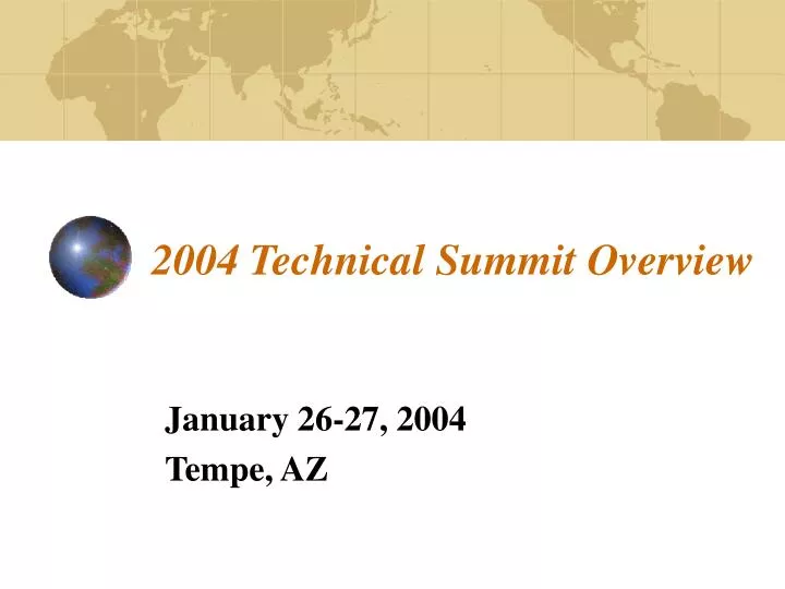
2004 Technical Summit Overview. January 26-27, 2004 Tempe, AZ. Technical Summit Objectives. Review status of each Forum’s planned 2004 technical work (scope, purpose, deliverables, & schedule) Develop a master schedule for technical deliverables

E N D
2004 Technical Summit Overview January 26-27, 2004 Tempe, AZ
Technical Summit Objectives • Review status of each Forum’s planned 2004 technical work (scope, purpose, deliverables, & schedule) • Develop a master schedule for technical deliverables • Discuss technical data and analyses needed for §308/§309(g) Reasonable Progress demonstration • Provide an update on the Attribution of Haze project
Particle Component East (μg/m3) West (μg/m3) Error Factor PM2.5 Sulfate (NH4HSO4) 0.2 0.1 2 Organics 1.5 0.5 2 Elemental Carbon 0.02 0.02 2 – 3 Ammonium Nitrate 0.1 0.1 2 Soil Dust 0.5 0.5 1.5 – 2 Water 1.0 0.25 2 PM10 3.0 3.0 1.5 - 2 Annual Mean Natural Background Aerosol Estimates1 1. From John Trijonis, NAPAP State of Science #24, Appendix A, 1991
Implications of IMPROVEAmbient Monitoring Data - Dust • Fine soil and coarse particles are responsible for about 6 to 26% of the annual average reconstructed aerosol light extinction. • Fine soil can account for about 10 to 30% of the fine particulate mass. • The contribution of fine soil to the aerosol extinction on the haziest days in the West is almost always below 10%, but can be as high as 40%. • Coarse material generally contributes less than 20%, but is frequently higher, reaching as high as 90% of the aerosol extinction.
Definitions • As they apply to emissions sources for WRAP technical analysis projects: • Apportionment – to divide and share out according to a plan, to make a porportionate division or distribution • Attribution – to explain by indicating a cause
Data and Analyses Needed forTOC Attribution of Haze Project • Review results of existing source attribution studies – April 30 • Framework for addressing technical Reasonable Progress and Natural Conditions guidance requirements – June 30 • Modeling Results • Initial Source Apportionment Results - June 30 • Natural versus Anthropogenic results – September 30 • Initial Causes of Haze Assessment results – June 30 • Emissions Inventories • Descriptions of EIs used in initial SA modeling – June 30 • Descriptions of EIs used in NvsA modeling – September 30 • Additional emissions and monitoring data expert review studies (address uncertainty, completeness, et cetera) – July to October
Class I areas Analyzed for §309 Strategies §309 Modeling Grid (36km grid cells)
Unified RPO Modeling Grid for §308 (red, 36km grid cells) WRAP Modeling Grid for §308/§309(g) (blue, 12km grid cells)
Emissions Data for use inInitial Source Apportionment Modeling (April-June 2004) • Area – by Pechan, 2002 projected from 1999/96 EIs (excludes wb dust) • Biogenics – by RMC (add sea salt) • Dust – by RMC - windblown module v1, using 2002 met • Road dust – interpolated 2003 emissions from 1996/2018 ENVIRON data • Fire – Air Sciences (Wildland, Rx & Ag Fire) – 2002 interim EI • On-road Mobile - 2003 emissions from ENVIRON • Off-road Mobile - 2003 emissions from ENVIRON (NONROAD 2000) • Stationary – by Pechan, 2002 projected from 1999/96 EIs + 2002 EPA utility sector data (growth & control assumptions same as used for §309 2018 base case) • Canada – 2000 point/area/mobile – fire? • Mexico – first comprehensive EI (ERG 1999 EI for 6 northern states) • Off-shore – by RMC (Caribbean, oil/gas production, et cetera) • Modeling Domain Boundary Conditions?
Emissions Data for use in Natural versus Anthropogenic Source Apportionment Modeling (August – October 2004) • Area – by Pechan, 2002 projected from 1999/96 EIs (excludes wb dust) • Biogenics – by RMC (add sea salt) • Dust – by RMC - windblown module v2, using 2002 met • Road dust – interpolated 2003 emissions from 1996/2018 ENVIRON data • Fire – contractor TBD (Wildland, Rx & Ag Fire) – 2002 final EI, NvsA split • On-road Mobile - 2003 emissions from ENVIRON • Off-road Mobile - 2003 emissions from ENVIRON (NONROAD 2000) • Stationary – by Pechan, 2002 projected from 1999/96 EIs + 2002 EPA utility sector data (growth & control assumptions same as used for §309 2018 base case) • Canada – 2000 point/area/mobile – fire? • Mexico – first comprehensive EI (ERG 1999 EI for 6 northern states) • Off-shore – by RMC (Caribbean, oil/gas production, et cetera) • Modeling Domain Boundary Conditions?
Emissions Inventories for §308/§309(g) • 2002 Interim EIs (done as of April 2004) • Support initial source apportionment modeling; • From these modeling results, provide a starting point for states and tribes to identify sources contributing to haze; and • Provide the Causes of Haze Assessment project a database for source/receptor analyses. • 2002 Natural/Anthropogenic fire EI splits (initial analysis as of August 2004) • Support modeling analyses of NvsA haze contributions
Emissions Inventories for §308/§309(g) • 2002 Final EIs (done as of December 2004) • Support 2005 and later source apportionment modeling; • From these modeling results, provide a starting point for states and tribes to identify sources contributing to haze; and • Provide the Causes of Haze Assessment project a database for source/receptor analyses.