Download
1 / 33
340 likes | 756 Views
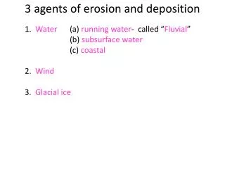
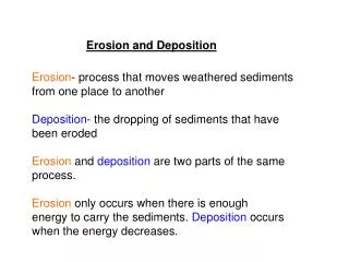
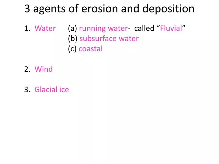
3 agents of erosion and deposition. 1. Water (a) running water - called “ Fluvial ” (b) subsurface water (c) coastal 2. Wind 3. Glacial ice. Fluvial erosion. Running water erodes (carries away) earth material ( sediment ) as 1. overland flow 2. stream flow.

E N D
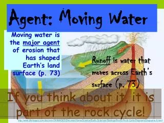
3 agents of erosion and deposition 1. Water (a) running water- called “Fluvial” (b) subsurface water (c) coastal 2. Wind 3. Glacial ice
Fluvial erosion Running water erodes (carries away) earth material (sediment) as 1. overland flow 2. stream flow
Causes • Hydraulic power • 2. Abrasion • 3. Corrosion • Dissolution • Hydrolysis
STREAMLOAD • Dissolved load • Suspended load • Bedload: • (a) saltation • (b) traction
CAPACITY Measure of the amount of solid material a stream can carry
COMPETENCE Measure of the particle size which a stream can transport Formula: 2(fs)= 2(c)6 2(flow speed)= 2(competance)6
FLOW SPEED Determined by channel conductivity and head gradient Headgradient measures vertical drop per horizontal distance
DRAINAGE PATTERNS • Dendritic • Trellis • Radial
Dendritic Drainage Pattern Satellite photo of fossil drainage pattern in Yemen http://www.star.ucl.ac.uk/~idh/solar/cap/earth/yemen.htm
Trellis and Radial drainage patterns http://www.geobop.com/world/Facts/Geography/Water/Rivers/
ALLUVIUM: STREAM DEPOSITED DEBRIS Abrams Creek flows on gravel in the alluvial plain and has exposed limestone along the margins of the lower terrace (in background on slope ). The close-up shows fine alluvial silt above imbricated flat pebbles of metasandstone and phyllite on Abrams Creek. Pocket knife in center for scale
Stream Channel Classification: • Straight • Sinuous • Meandering • Braided
Channel patterns are explained by: 1. inside river bend deposition 2. outside river bend erosion 3. levee deposition 4. bottom deposition
Meandering stream pattern River meanders change with time: Confluence of the Missouri and Yellowstone Rivers Arctic river meanders
New Orleans http://www.ces.clemson.edu/semaps/jpeg/9eno/9e2ful.jpg
braided stream New Zealand http://stockpix.com/stock/travel/newzealand/9404.htm
Perennial streams flow all year Mississippi River, Minnesota
Exotic River origins in wet region; flows through desert or steppe region. Examples: Nile; Colorado; Rio Grande
River Delta: depositional terminus of a river. Term= Greek letter, shaped like a triangle. (Note that rivers which terminate in a submerging environment are called estuaries.) Examples: Nile= only example of a “delta” shaped delta! Indus (Pakistan/India border region)= world’s largest. Mississippi (Louisiana)= rapidly laying deposits out into the Gulf of Mexico. Lena (Russia)= flows north to the Arctic Ocean Colorado= 14th largest delta, no longer depositional because no water flows any longer into the Gulf of California… all of the water is captured for cities and agriculture.
Huang Ho (Yellow River) World’s siltiest river. Silt from western China (Gobi Desert) is called loess YELLOW RIVER
Extreme floods in China • Are explained by: • Bottom deposition • Natural levee deposition • 2000 year history of building levees • Resulting EXTREME levee height… in some areas the river flows 70 feet above the surrounding floodplain!
The Chiang Jiang (Yangtze) River Third longest, third largest by volume of flow.