Download
1 / 9
90 likes | 201 Views
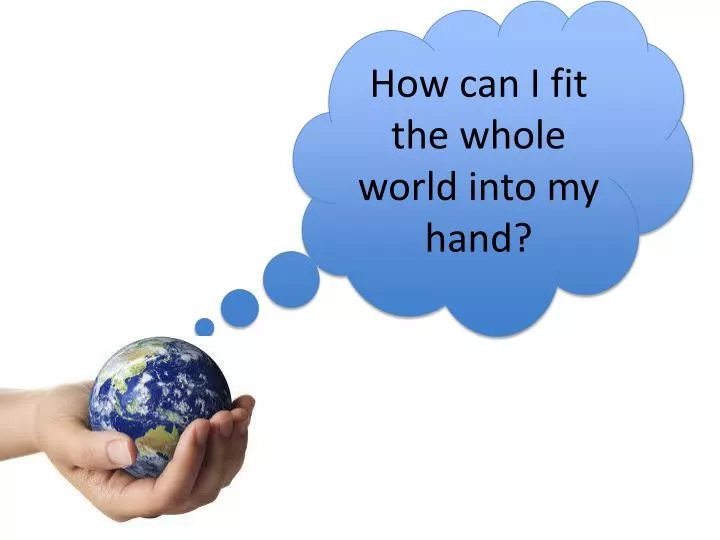
How can I fit the whole world into my hand?. Using scale. Aim: To understand why and how scale is used on a map. Outcome: To be able to create a map with a scale. All of these maps show Beijing. What is the difference between them?. What is a scale?.

E N D
Using scale Aim: To understand why and how scale is used on a map. Outcome: To be able to create a map with a scale.
All of these maps show Beijing. What is the difference between them?
What is a scale? Anyone who has ever used a map to findtheir way, will know the importance of a scale. Knowing which direction to travel in is only partof using a map. To know how far it is to your destination, you need to use the map’s scale. Scale is the ratio of objectson the map to the real world.For example on a map withthe scale 4cm:1km, fourcentimetres on the mapis used to represent onekilometre in the real world.
Using scale on a map Any method of estimating distance on a map requires the use of a scale. X Y How far is it from the X to the Y? The scale for this map is4 cm : 1 km Each one ofthese grid boxes is 4 cm wide and long. This is equivalent to 1 km in distance. We can estimate a distance of 4 km.
Map measuring But this is more difficult if the two points are like this… Imagine the distance is 16 cm. Now we need to do some maths. Here we measure diagonally. Y Using a ruler, measure thedistance between the two points.
Calculating distance using a scale The scale on the map was: This means that: 4 cm:1 km 4 cm 1 km 8 cm 2 km 12 cm 3 km 16 cm 4 km If our distance was16 cm how many kms is it? The answer would be 4 km.
Putting it into practice: Turn to p. 125 (OS map of Cambridge, using a ruler and the scale at the top of p. 124 answer the questions: • What is the scale of the map in kilometres? • How far is it from the telephone in 4648 to the church in 4454? • In km travelling south along the blue road (Motorway) how far is it from Grantchester to Whittlesford?
Your mission: To create a plan of the classroom to scale. Measure the classroom using your strides. Include desks in your plan.