1 / 10

Ch. 2 Mapping Our World

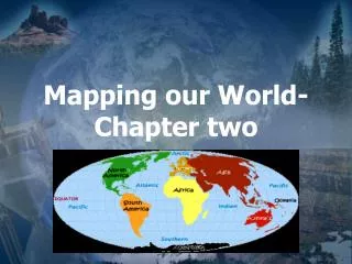
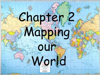
Ch. 2 Mapping Our World. Draw Figures 2.1, 2.2, 2.4 What is latitude? (think “ flatitude ”) What is longitude? (think up and down) Where is the prime meridian? (what city does it run through?) If you are travelling west across the international date line what happens to your days? Why?.

conlan
Download Presentation

Ch. 2 Mapping Our World

An Image/Link below is provided (as is) to download presentation Download Policy: Content on the Website is provided to you AS IS for your information and personal use and may not be sold / licensed / shared on other websites without getting consent from its author. Content is provided to you AS IS for your information and personal use only. Download presentation by click this link. While downloading, if for some reason you are not able to download a presentation, the publisher may have deleted the file from their server. During download, if you can't get a presentation, the file might be deleted by the publisher.

E N D

Presentation Transcript


  1. Ch. 2 Mapping Our World

  2. Draw Figures 2.1, 2.2, 2.4 • What is latitude? (think “flatitude”)What is longitude? (think up and down) • Where is the prime meridian? (what city does it run through?) • If you are travelling west across the international date line what happens to your days? Why? Drawings

  3. Official Time Map

  4. Robinson Projection

  5. Mercator Projection

  6. Comparison

  7. Conic Projection

  8. Gnomonic Projections

  9. Compare

  10. WRITE OUT THE QUESTION AND THE ANSWER! • Homework: Draw Table 2.1 p. 39 • P. 33 Questions 1-5 • P. 37 Problem Solving Lab (Together) • P. 51 Number 2, 7, 10, 11, 13, 14, 17, 19 CLASSWORK

More Related