Download
1 / 7
70 likes | 245 Views
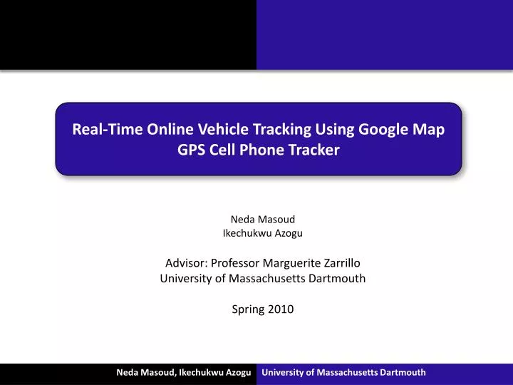
Real-Time Online Vehicle Tracking Using Google Map GPS Cell Phone Tracker. Neda Masoud Ikechukwu Azogu Advisor: Professor Marguerite Zarrillo University of Massachusetts Dartmouth Spring 2010. Two fleet of vehicles: 1. NBCA: New Bedford Council of Aging

E N D
Real-Time Online Vehicle Tracking Using Google Map GPS Cell Phone Tracker Neda Masoud Ikechukwu Azogu Advisor: Professor Marguerite Zarrillo University of Massachusetts Dartmouth Spring 2010
Two fleet of vehicles: 1. NBCA: New Bedford Council of Aging The NBCA provides transportation to local Senior Citizens to various locations in the New Bedford area. FeliceMonteiro (COA Coordinator) is our lead contact. 2. CCAV: Community Care-A-Vans The CCAV provides transportation to various people of need and operates a scheduled line of set locations. They operate at a 50 mile radius from Taunton. Brian Foss (Chief Operating Officer) is our lead contact. • Project Goal: • To create an inexpensive tracking program • to make better decisions on the fly such as scheduling and planning • a first step in improving the organizations efficiency
a GPS cell phone that has a data plan and is programmable and a carrier that support GPS • Sprint/Nextel • Motorola i355 phone • a web server running PHP and the MySQLi.dll extension • An API key from Google Maps for the website • Apache as web server • MySQL 5.0 or higher
SPRINT/NEXTEL DATA SERVICE DSS SERVER MYSQL DATABASE APACHE WEB SERVICE WITH PHP INTERNET CLOUD MAP VIEWER WEB PAGE JAVASCRIPT GOOGLE MAPS SERVICE
Had meetings with the 2 organizations • Creating log-in pages for DSS for each organization • Buying the cell-phone and the data plan • Got two API keys from Google Maps • Established the databases on the lab computer and datacenter • Used our API key to display some already existing sample data on the Google Maps • Installing the software on the cell-phone emulator and the cell-phone Still have to: • Perform a test run • Expand the work