Download
1 / 17
180 likes | 494 Views
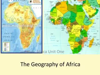
The Geography of Africa. SS7G3. Explain the impact of location, climate, and physical characteristics on population distribution in Africa. A satellite view of Africa. Africa’s Size. Second largest continent 10% of world’s population 2 ½ times the size of U.S.

E N D
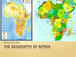
The Geography of Africa SS7G3. Explain the impact of location, climate, and physical characteristics on population distribution in Africa.
Africa’s Size • Second largest continent • 10% of world’s population • 2 ½ times the size of U.S.
The Nile River-Longest in the world Flows northward for 4,000 miles until it reaches its mouth – Mediterranean Sea
The Congo River Basin • Covers 12% of the continent • Covers 9 countries • 2,720 miles long • 99% of The Democratic Republic of the Congo is in the basin • Source is in central Africa near Lake Tanganyika, flows 3,000 miles to mouth – the Atlantic Ocean
Covers 7.5% of the continent. • Extends over 10 countries. • 2,600 miles long. • third largest river in Africa – flows 2,660 miles • Has a big delta sometimes called the “Oil Delta” because of oil industry centered here The Niger River Valley
Lakes • Lake Victoria – largest lake in Africa • Lake Tanganyika – one of the largest freshwater lakes in the world – one of the deepest also
The Great Rift Valley • 3,700 miles long • divergent plate boundary • process of splitting the African Plate into two new separate plates
Mt. Kilimanjaro • dormant volcanic mountain • highest mountain in Africa • highest free-standing mountain in the World at 19,341 feet above sea level
The Sahara Desert • Facts: • runs the entire width of northern Africa • largest desert in the world, hot and dry • Covered w/sand dunes, rolling rocky hills, wide stretches of gravel • Few people live here, traders pass through by camel, jeeps, trucks; trading gold and salt • Inhabited mainly by nomads who move searching for food and water
The Sahel • south of the Sahara – dry, semi-arid region – • Is slowly turning into desert • Little rain • Generations have tried to live here, cutting down the few trees that are there, and have allowed animals to overgraze • Plants have disappeared, soil has become drier and has begun to blow away
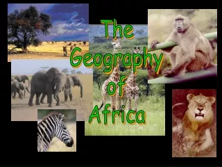
The Savanna • region of Africa is in the middle close to the Equator • Vast area of grassland and some tropical habitats • Place where animals associated w/Africa are found and supported • Farming is good here when the rains come
African Rain Forest • Annual rainfall of up to 17 ft. • Rapid decomposition (very humid). • Covers 37 countries. • 15% of the land surface of Africa.
African Rain Forest • located along the central coast • Hot and humid, dense forests, trees hundreds of feet tall • Full of animals and birds • Biggest threat is rapid population growth in the countries that are in this area • Need for fuel for cooking etc., is driving people to cut down trees faster than they are replanting