Download
1 / 21
270 likes | 849 Views
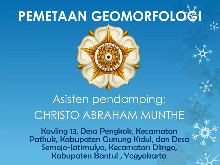
PEMETAAN GEOMORFOLOGI. Asisten pendamping : CHRISTO ABRAHAM MUNTHE. Kavling 13, D esa P engkok , K ecamatan P athuk , Kabupaten G unung K idul , dan D esa Semojo-Jatimulyo , K ecamatan Dlingo , Kabupaten Bantul , Yogyakarta. KELOMPOK 12. Taslim M aulana 12/333334/TK/39719

E N D
PEMETAAN GEOMORFOLOGI Asistenpendamping: CHRISTO ABRAHAM MUNTHE Kavling 13, DesaPengkok, KecamatanPathuk, KabupatenGunungKidul, danDesaSemojo-Jatimulyo, KecamatanDlingo, KabupatenBantul , Yogyakarta
KELOMPOK 12 TaslimMaulana12/333334/TK/39719 ThariqFadhilah12/329994/TK/39189 TsaraAfifah12/330066/TK/39257 WilgenSimanjuntak12/333455/TK/39811 YacobusEkakrismiNugraha12/329888/TK/39112 YesitaAnissi12/330303/TK/39479 Yoga Prima Nugraha12/333484/TK/39837 YuliNurjanah12/330319/TK/39495 Yusuf Rakhmanto12/333768/TK/40110
SARI • Daerah pemetaan : • Luas 4 Km x 5 Km. DesaPengkok, KecamatanPathuk, KabupatenGunungKidul, danDesaSemojo-Jatimulyo, KecamatanDlingo, KabupatenBantul , Yogyakarta
> Secarageomorfologi, daerahpemetaandapatdibagi: • Satuanbentangalamstruktural • Satuanperbukitan karst • Satuandataranfluvial> Stratigrafidaerahpemetaaninidisusunoleh: • SatuanBreksi Andesit • SatuanBatupasir tufan • SatuanBatugamping> Strukturgeologi yang berkembangadalah:SesarGeserDekstral
subdendritik trelis Multi basinal
Satuanbreksiandesit Satuanbatupasir Satuanbatuankarbonatan Breksiandesit
DOKUMENTASI LAPANGAN Kameramenghadaptimur
DOKUMENTASI LAPANGAN Kameramenghadapbarat
DOKUMENTASI LAPANGAN Kameramenghadapbarat Kameramenghadaptimur
DOKUMENTASI LAPANGAN Kameramenghadaptimur
DOKUMENTASI LAPANGAN Kameramenghadaputara
DOKUMENTASI LAPANGAN Kameramenghadapbarat
DOKUMENTASI LAPANGAN Kameramenghadapbaratdaya
KESIMPULAN • Secara fisiografi lajur Pegunungan Selatan • Secara geomorfologi: 1. Satuan DataranFluvial 2. Satuan Perbukitan karst 3. SatuanBentang AlamStruktural • Pola penyaluran Trellis, subdendritik, multibasinal
Secara stratigrafi: 1. SatuanBreksi Andesit 2. Satuan BatupasirTufan 3. Satuan Batugamping • Potensi: 1. Positif SebagaiLahanPersawahan, Perkebunan, pemukiman, tambangbatugampingdll 2. Negatif Gerakan massa (jatuhan & longsoran), banjir
DAFTAR PUSTAKA Pettijohn, F.J., 1975, Sedimentary Rock 3rd ed., Harper and Raw Publication., New York Thornbury, William D, 1969, Principles of Geomorphology, 2nd ed, Department of Geology Indiana University, John Wiley & Sons, Inc, New York. Van Bemmelen, R.W., 1949, The Geology of Indonesia, Vol. 1 A, Government Printing Office, The Hauge, Amsterdam. www. Shin-shanshan.blogspot.com/2011/07/laptrip-georeg-kp.html