Download
1 / 29
290 likes | 505 Views
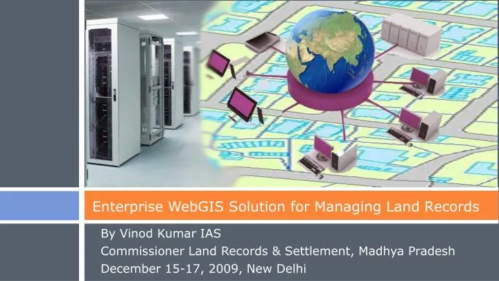
Enterprise WebGIS Solution for Managing Land Records. By Vinod Kumar IAS Commissioner Land Records & Settlement, Madhya Pradesh December 15-17, 2009, New Delhi. MP Land Records: Quick Facts. Area > 3 Lakh sqkms Fifty Districts Population > 6Cr Population density 200 people per sqkm

E N D
Enterprise WebGIS Solution for Managing Land Records By Vinod Kumar IAS Commissioner Land Records & Settlement, Madhya Pradesh December 15-17, 2009, New Delhi
MP Land Records: Quick Facts • Area > 3 Lakhsqkms • Fifty Districts • Population > 6Cr • Population density 200 people per sqkm • No of parcels > 3.7 Cr
MP Land Records: Quick Facts • Broad Landuse
Major Activities of the Department • Nazul Land • Receive and Process applications • Premium and Rent • Demand Generation • Collection • Issue Copy of Land Records • Receive and Process Applications • Khasra Map • B1 Register • Mutation • Land Revenue • Rent • Demand Generation • Collection • Diversion of Land • Receive and Process applications • Premium and Rent • Demand Generation • Collection
Objectives of the Project • To have a centralized and highly secured storage of land records • To utilize latest advancements in Geospatial industry in preserving and using digital land records data • To link map data and attribute data • To have a controlled multi location data update facility • To have full function Audit Trails with drill down reporting facility • To develop an Enterprise Solution to Manage Land Records and to provide Citizen Services • To establish and Run Tehsil level IT Centres to provide better and quicker services to the public • Integration with other departments • Issue Smart cards for Land Owners
Scope of work to achieve objectives • Establishment and Running of Highly Secured State Data Centre and Disaster Recovery Site • Get ISO certification for Data Centre for Security • Develop an Enterprise WebGIS Solution to Manage Land Records (Text and Map) and to provide Citizen Services • To have role based editing facility with full function audit trails • Establishment and Running of Tehsil level IT Centres • Connectivity between State Data Centre and IT Centres • Data Porting (Existing Digital Data and Newly Surveyed Data) • Generate Periodic Reports and Statistics • Operations and Maintenance for 5 years
Conceptual Design Department Users Loc 1 Department Users Loc n DR Site IT Centre 1 IT Centre n Public Counters Public Counters State Data Centre Data Update Users Data Update Users Internet VPN Leased Line Broadband Special Users (Other Departments) Public Users
Land Records State Data Centre • Objective • Host Data and Application in a centralized manner • Scope of work • Design and Establishment of Data Centre • Get ISO Certification for Security • Running and Maintenance for 5 years • Highlights • High Data Security Features • High Capacity Design • High Availability Design • Disaster Recovery Data Centre • High band width VPN connectivity with DC • Synchronous Data Mirroring (SAN based) • In different Seismic Zone
Enterprise WebGIS Solution • Objective • Application to manage digital land records including editing • Application to provide citizen services • Scope of work • Design, Development and Implementation • Running and Maintenance for 5 years • Highlights • Centralized Web-based GIS Solution • Role based access control • High security features • Integrated Biometric Authentication • Faster citizen services through IT centres as well as through internet • Multi-user, multi location editing with audit trails
Tehsil level IT Centers (341 in Number) • Objective • Editing of data • Interface for citizen services • Scope • Design and Establishment • Running and Maintenance for 5 years • Highlights • Shorter service time • Biometric authentication while posting edits to the server • Single window for citizen services
Data Porting • Solution design ensures working with • Existing data being digitized after data porting exercise • New data to be surveyed • Scope includes: • Porting of data • Performing data quality checks of the data before posting the data to the live server
Tender for executing the work • Highlight • PPP BOOT model for managing land records • Two Step Vendor Selection Process • Technical Bid • Commercial Bid • Cost and Quality Based Selection Procedures
Technical Evaluation of Bids • Bidder’s Competence • 35 marks out of 100
Technical Evaluation of Bids • Key Resources • 20 marks out of 100
Technical Evaluation of Bids • Quality of the proposed solution • 45 marks out of 100
Steps involved in Execution: Data Centre • Delivery, Installation, Configuration and Testing Plans • Delivery of materials • Installation, Configuration and Testing • Pilot Run • Disaster Recovery Mock Run • Full Roll out • Training • Security Audit • Commissioning • Technical Committee • Reviews at each stage • Adherence to Technical specifications • Adherence to timelines • Performance Review • Project Management • Monitoring and Control
Steps involved in Execution: GIS Application • Detailed Project Plan • Requirement Analysis • Design • Coding • Unit, Module, System and Integration Testing • User Acceptance Testing • Full Function Rollout – Pilot Locations • Training • Full Function Rollout – All locations • Technical Committee • Reviews at each stage • Adherence to Technical specifications • Adherence to timelines • Performance Review • Project Management • Monitoring and Control
Steps involved in Execution: IT Centres • Delivery, Installation and Configuration Plans • Delivery of materials • Installation, Configuration and Testing • Training • Technical Committee • Reviews at each stage • Adherence to Technical specifications • Adherence to timelines • Performance Review • Project Management • Monitoring and Control
Operations and Maintenance Period • Supply of required man power to operate the system for all functionalities • Bug fixing, error corrections • Periodic data validations • Enhancements to the application • Generate Reports and statistics
Highlights of PPP BOOT Model • All cost to be borne by the vendor • Vendor shall be paid fixed amounts (computed as per his winning bid amount) upon each service operation (Details of payments in next slide) • Vendor is responsible for maintenance
Payment model to the vendor • Bidder has to bid value for “n”
Payment model to the vendor • Bidder has to bid value for “n”
Payment model to the vendor • Bidder has to bid value for “n”
Indicative No. of transactions per year • Guideline to investment recovery to bidders
Indicative No. of transactions per year • Guideline to investment recovery to bidders
Expected Benefits to the Citizen • Tehsil level single window service counters • Internet services • File applications • Make payments • Take Land Records Copy (Map and Text) • SMS Services • Payment due date reminders and payment confirmation • Land record details by return SMS • Smart card for ownership • Overall quicker and better services, Transparent procedures
Expected Benefits to the department • Better Data Management • Better Data Handling • Ease in Processing Applications • Ease in Data Retrieval • No need to trace the map for taking copies • Uniformity in Procedures and Processes • Better Control over Data and Process • Easy Retrieval of Historical Transactions
Thanks! • For more information • E-mail: clrgwa@mp.nic.in • Phone: +91 751 2441200