Download
1 / 28
280 likes | 418 Views
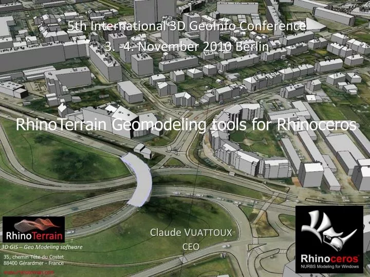
5th International 3D GeoInfo Conference 3. -4. November 2010 Berlin. RhinoTerrain Geomodeling tools for Rhinoceros. Claude V UATTOUX CEO. 3D GIS – Geo M odelin g software. 35, chemin Tête du Costet 88400 Gérardmer - France. www.rhinoterrain.com. Rhinoceros Quick overview.

E N D
5th International 3D GeoInfo Conference 3. -4. November 2010 Berlin RhinoTerrain Geomodeling tools for Rhinoceros ClaudeVUATTOUX CEO 3D GIS – Geo Modeling software 35, chemin Tête du Costet 88400 Gérardmer - France www.rhinoterrain.com
Rhinoceros Quick overview • Uninhibited free form 3d Nurbs modeling • Accuracy • Fast ( from note book to worksation • Affordalbe • 300 000 seats worldwide
The Choice of Rhinoceros as a Geomodelingplateform • Advanced 3D Primitives with double precision location ( Meshes , NURBS, Point cloud) • UUID (database connection) • 3d Topology ( Breps ) • Low Footprint and very good scalabity (from Notebook to high end Workstation) • 32 ,64 bits good C++ sdk and low price entry point • High performance OpenGl Display Engine • We don’t invent the wheel the second time • We Just concentrate on the Essential RhinoTerrain
RhinoTerrainGeomodelingtools plugins • Gdal driven geographic transformations • PointCloud processing • InCore large mesh Delaunay engine with 3d boolean operations • 3d Analysis
Gdal driven Geographical Engine • Geographical Coordinates Manager • Geographical Transformations • Gis import ( Dem, Shapefile, Geotiff) • GoogleEarth Import
Gdal driven Geographical Engine • Geographical Transformations Lambert 93 projection Geocentric projection, Nurbs geoide
Gdal driven Geographical Engine • GoogleEarth Import Get 3D ! Just locate
Point Clouds Processing (Use Native Rhino Point Cloud Entity (x,x,z ,Normals , RGB) • AirBorne Laser Lidar • Terrestrial scanner ( Topcon,Leica) • Normals Processing • Sections Tool
Point Clouds Processing • AirBorne Laser Lidar (Las Files) Ign France Bd Alti Hr (sample)
Point Clouds Processing • Terrestrial scanner ( Topcon,Leica, ….)
Point Clouds Processing • Normals Processing Normals in progress Complex Point Cloud
Point Clouds Processing • Sections Tool
Large Scale Delaunay Engine • Hard/Soft BreakLines • Dozens Millions of Points • 3d Topology • 3d Boolean Operations • Fully Editable • Orthophoto Mosaic
Large Scale Delaunay Engine • Hard/Soft BreakLines LyonFrance
Large Scale Delaunay Engine • Dozens Millions of Points CraterLake Oregon
Large Scale Delaunay Engine • 3d Topology Automatic River Extraction From 3d Topology
Large Scale Delaunay Engine • 3d Boolean Operations Add Complex Nurbs Suface to a Terrain
Large Scale Delaunay Engine • Fully Editable Bad Point Corrected
3d Analysis • Viewshed analysis • Slope , height… Analysis • Volume computation ( cut and fill)
3d Analysis • Viewshed analysis Wind Turbine farm implentation
3d Analysis • Volume computation , Sun Study Tractebel Ingineering GdfSuez
3d Analysis • Slope , height… Analysis Slope Ski Station
Photogrammetry • Automatic building generator from roof lines 3d Roof Polylines Structered Houses Meshes
Future perspective • CityGml import export • GeoTexturing • Easy Civil workflow for large scale project integration ( road, bridge, tunnel …)
Future perspective • CityGml import /export Munich CityGml Sample (true Shadow cast)
Future perspective • GeoTexturing from oriented Flight imagery
Future perspective • Easy Civil workflow for large scale project integration ( road, bridge, tunnel …)