Download
1 / 14
150 likes | 287 Views
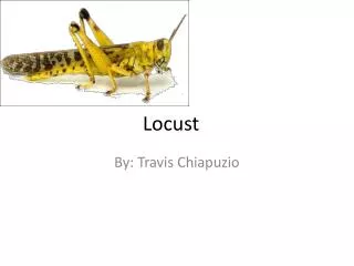
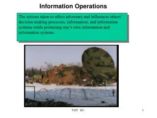
Meteorological information for locust control operations. locusts & systems rain, temperature, wind solutions & challenges. Keith Cressman Locust Forecasting Officer 19 April 2005. Desert Locust countries. Recession area = 16 million km 2. spring.

E N D
Meteorological information forlocust control operations locusts & systems rain, temperature, wind solutions & challenges Keith Cressman Locust Forecasting Officer 19 April 2005
Desert Locust countries Recession area = 16 million km2 spring winter summer Invasion area = 32 million km2 (20% of world land mass) 25 key (front-line) countries 2 / 14
Desert Locust biology summer (W Africa) 25d 14d 30 days (2-3 months: July-Nov) spring (NW Africa) 150 days 35 days 35 days (2.5-7 months: Oct-Mar / Apr-Jun) a e h adults invade egg hopper 3 / 14
hopper bands & swarms (gregarious) = THREAT! Individual locusts = no threat solitarious Grouping & concentration = increasing threat gregarious transiens Desert Locust phase change 4 / 14
Desert Locust migration spring winter summer recessions: Sahel (summer) Outbreaks/upsurges/plagues: Sahel (summer) + NWA (spring) 5 / 14
Desert Locust programmes 6 / 14
Desert Locust information flow International - National - Field - FAO Desert Locust Information Service (DLIS) Locust Control Centre survey and control teams ( RAMSES data files, reports ) ( forms, eLocust data files ) 7 / 14
Direct two-way communication National Locust Control Centres FAO DLIS Desert Locust network FAO DLIS 8 / 14
Weather thresholds Rain >25 mm in two consecutive months unusual events > 20°C(egg & hopper development) > 20°C (take-off) > 18°C (sustained flight) < 10 m/s (take-off) 10 - 2000 m (migration heights) Temp Wind 10 / 14
Tools available to NLCCs • rainfall station reports • estimate / forecast rains • US Navy • NOAA Africa data • IBIMET • other web sites • SPOT vegetation imagery • RAMSES GIS 11 / 14
Tamanrassett B.B. Mokhtar Tessalit 900 km Kidal Agadez Gao Menaka 1300 km Primary rainfall stations (GTS) Tunisia Morocco Algeria summer breeding area Mauritania Mali Niger Chad Senegal Burkina Faso 7 rainfall stations in 1.1 million km2 12 / 14
Potential solutions • increase rains stations? • reduce transmission errors? • indicate data requirements? • use forecast products? • regional workshop Current weaknesses • poor rain station coverage • national station data incomplete / errors • NLCC does not make use of data • FAO/DLIS does not use forecast products • weak NLCC / NMHS link • poor rain station coverage • national station data incomplete / errors • NLCC does not make use of data • FAO/DLIS does not use forecast products • weak NLCC / NMHS link 13 / 14
This week’s challenges … • improve NMHS support to NLCCs • provide useful weather data • improve weather forecasts Keith Cressman FAO Locust Forecasting Officer