Download
1 / 20
200 likes | 350 Views
Status of the ClearSky Online Gaming Tool Joe Vaughan, Brian Lamb and Jen Hinds Laboratory For Atmospheric Research. 2011 NW-AIRQUEST Annual Meeting Pullman, WA -- June 2, 2011. Outline. Review of ClearSky Gaming Version Status of Gaming Version in Spring 2011 How we got here...

E N D
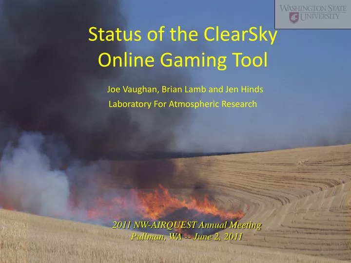
Status of the ClearSky Online Gaming ToolJoe Vaughan, Brian Lamb and Jen Hinds Laboratory For Atmospheric Research 2011 NW-AIRQUEST Annual Meeting Pullman, WA -- June 2, 2011
Outline Review of ClearSky Gaming Version Status of Gaming Version in Spring 2011 How we got here... Current efforts Conclusions on ClearSky Gaming Big Picture on ClearSky
ClearSky Online Gaming Tool • Daily overnight ClearSky run provides WRF-based 4-km CALMET-format meteorology. • Gaming Tool supports rapid response field-burning plume dispersion simulations using CALPUFF. • Uses interactive Google Map application to locate burns. • Supports multiple burn sites per scenario. • Results in surface layer PM2.5, and optionally winds, shown as map animations on any of 14 sub-domains.
http://www.atmos.washington.edu/~empact/ClearSKY_test/csky_game2.phphttp://www.atmos.washington.edu/~empact/ClearSKY_test/csky_game2.php
Results Available in 5-10 min Email notification contains: link to flash animation download link for pave animation scenario description concise CALPUFF log concise Game script log Flash animation: controls for speed toggles for overlays: • PM2.5 • roads-cities. • winds • monitor locations • zoom
Animation link from ClearSky Gaming Default NPT Run for June 1, 2011 Pave animations can also be downloaded for archival and for later examination.
Pave animation can be downloaded by user for later reference
ClearSky Online Gaming ToolIn use by regional smoke managers since summer 2010
Status one year on…In summer 2010 default scenarios were set up for cooperating groups at ECY-ERO and NPT.In fall 2010, two new users, both in Oregon, were provided with ClearSky default scenarios: Imbler Fire Department and Jefferson County Smoke management. Scenario counts per month are generally 200+, including defaults.A web-page for ClearSky users to review all agencies’ defaults was established.User feedback suggests that PM2.5 results are too low-valued, particularly in the near-field distance, so what are we doing…?
Standard ClearSky Treatment -- How We Got Here Emission Factors used in ClearSky were calculated from results from AIR Sciences and WSU studies. Emission Factors are expressed in terms of fuel consumed [g PM2.5/kg fuel consumed]: Bluegrass EF_PM25 = .0330 or 3.3% by mass, Wheat or other crops EF_PM25 = .0036 or 0.36%. We adjusted plume rise parameters to get plume heights in approximate agreement with aircraft observations. We associated Smoldering with the entire field area and treated the plume as a CALPUFF Buoyant Area Source. We associated Flaming with a line source transecting the field and treated the plume as a CALPUFF Buoyant Line Source. Emissions were partitioned: 20% Buoyant Area Plume and 80% Buoyant Line Plume. But: ClearSky wasn’t constrained by comparable concentration data, due to lack of adequate PM2.5 measurements in vicinity of modeled burns. And since ClearSky began, WRF has replaced MM5.
Current modeling experiments with default scenarios Immediate goal is to learn what treatment will gives results that consistently satisfy burn managers expectations. In the absence of adequate PM2.5 data in vicinity of contemporary burns, should we be guided by the expert judgment of regional burn managers? Treatments: Standard: Emissions distributed between: 20% Buoyant Area Plume and 80% Buoyant Line Plume. Test Scenarios: A: is 99% Area L: is 99% Line C: is 99% Area and reduced Effective Stack Radius Longer term goal could be to obtain (collect?) additional downwind (near and far field) PM2.5 concentrations (perhaps supplemented by proxies) to guide better parameterizations in CALPUFF emissions.
Example: ECY at ERO scenario for 20110414 for 2800 acres in Whitman County Area vs. Line
Profile shows cooling in lowest layer and then paralleling lapse rate, and VI and BVVI show excellent ventilation in Whitman Cty area. Example: WRF meteorology for for 20110414
Observations on these 20110414 modeling results Line source treatment keptmore smoke on the ground than did Area source treatment in near field. Area treatment smoke touched back down. Both ventilation indices showing ‘excellent’, and locally unstable profile also, suggests excellent dispersion. CALPUFF kept or put smoke on the ground in near and medium distance field, but we need 3-d views of plume to see how dispersed the plume was under these conditions. Wind speeds perhaps kept Line smoke mixed down, despite VI and BVVI? So, current effort is to review ClearSky results and in consultation with regional smoke managers, compare these results with expectations, looking for insight into why ClearSky misses expectations, in what circumstances.
Ability to dump CALPUFF results for elevated dicsrete receptors NON-GRIDDED (DISCRETE) RECEPTOR DATA ------------------------------------ X LCC Y LCC Ground Height Receptor Coordinate Coordinate Elevation Above Ground No. (km) (km) (m) (m) -------- ------- ------- --------- ------------ 1 ! X = 32.0000, 184.000, 866.000, 100.000! !END! 2 ! X = 32.0000, 184.000, 866.000, 200.000! !END! 3 ! X = 32.0000, 184.000, 866.000, 300.000! !END! 4 ! X = 32.0000, 184.000, 866.000, 400.000! !END!
Sharing results w/ public Someone wondered about value of sharing ClearSky with the public…? Convened a conference call May 11 and discussed pros and cons. Consensus: sharing access to the tool is not wise, but agency managers could selectively share specific results, as forwarded links, with interested (responsible?) individuals. We will add clear disclaimer language to website and investigate other security.
Conclusions ClearSky can, with tuning to users expectations, become a more reliably useful tool. But… Ultimately, robust PM2.5 (and analogues) concentration data is needed to allow ClearSky to fulfill its potential of providing quantitatively meaningful results. Therefore… Resources should be found to conduct the necessary studies (perhaps including orchard pile burning).
Big Picture on ClearSky? Provides additional guidance on threat zones for smoke, although it may not be ‘conservative’ enough. Gaming version allows users to generate results rapidly. FETS-ClearSky prototype offers possibility of means to generate daily agricultural burning smoke load for region, either retrospectively, or in NRT for AIRPACT ICON. Orchard Burning burn piles may be better subject for modeling than highly variable ag field burning.