Download
1 / 30
300 likes | 301 Views
Learn about the tiered categorization system for Landsat data archive management and the criteria for data inclusion in Tier 1 and Tier 2. Explore the concepts of Adaptive Remote Sensing Data (ARD) and the application of metadata for data selection.

E N D
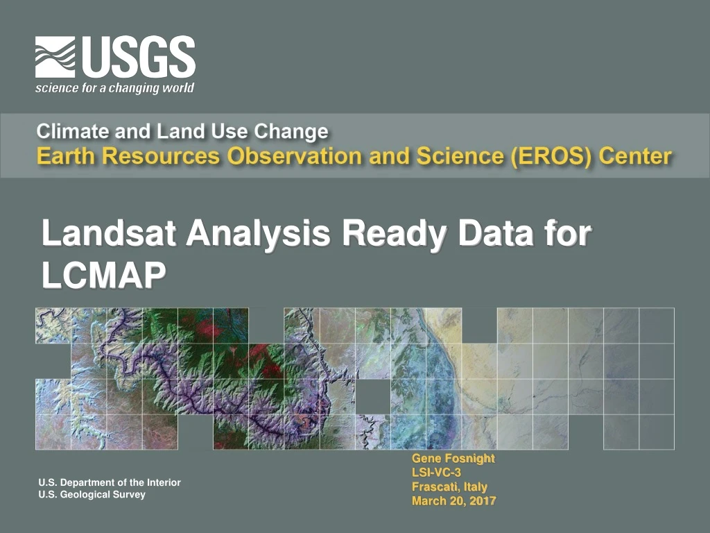
Landsat Analysis Ready Data for LCMAP Gene Fosnight LSI-VC-3 Frascati, Italy March 20, 2017
ARD Science Data and QA Bands • Collection Management • ARD processing flow • ARD Tiling • Top of Atmosphere Reflectance, Brightness Temperature, Surface Reflectance Measurements – primarily L8 examples • Per pixel metadata
Landsat Collection Management • Landsat data archive will, going forward, be managed as a formal tiered data Collection. • Managing the Landsat Archive as a Data Collection provides • a consistent archive of known data quality to support time series analyses and data “stacking”, while • controlling continuous improvement of the archive and • providing access to all data as they are acquired. • No change will be made to a Collection that would create a discontinuity in the environmental record. • Any significant change would be deferred to the release of a new Collection.
Collection Categories: aka Tiers • A Collection consists of three data categories: Tier 1, Tier 2, and Real-time. • Data in Tier 1 meet formal geometric and radiometric quality criteria. • Current criterion is a RMSE geometric threshold, but this not expected to always be the case • Data in Tier 2 do not meet the Tier 1 criteria. • The Real-time category contains data immediately after acquisition processed using estimated parameters. • Real-time data are reprocessed and assessed for inclusion into Tier 1 or Tier 2 as soon as final parameters are available.
Tiers • Tier 1 provides a starting point for data considered to be “optimal” for time series analysis • However it is understood that this is only a guideline and that application requirements and reality may intervene • For data rich areas and sensitive analysis, data with higher RMSE estimates can be rejected • For data poor and robust methodologies, data with lower RMSE estimates can be incorporated from Tier 2, which may require further georegistration • The goal of ARD is to provide sufficient metadata to permit adaptive selection of data from a ”data cube” structure.
OLI L1 Tier 1 L1TP Spatial Distribution Green indicates greatest temporal density
ETM+ L1 Tier 1 L1TP Spatial Distribution Green indicates greatest temporal density
TM L1 Tier 1 L1TP Spatial Distribution Green indicates greatest temporal density
Landsat 8 TOA Reflectance Bands Ta (top of atmosphere reflectance) INT16 (16-bit signed integer) Refl (reflectance)
Solar and Sensor View Angles Sensor viewing angles Sun angles Zenith Azimuth
Landsat 8 Brightness Temperature bt (brightness temperature) INT16 (16-bit signed integer) K (Kelvin) temp (temperature)
Landsat 4-7 Surface Reflectance • LEDAPS Version 3.0.0 • Per pixel solar zenith angles corrections computed and applied • Quality Assurance bands remain as is; SR internal quality accompanies the product, CFmask-derived quality band is requested separately • Planned release into ESPA January 11, 2017 (this week) • LEDAPS Version 3.1.0 • Revisions to QA band pixel quality attributes to support ARD generation (see next slide) • To be released no earlier than February 2017
Landsat 8 Surface Reflectance (LaSRC) Updates • LaSRC Version 1.0 • Modifications to how aerosol retrieval is handled over water • Angstrom coefficient used to modify the AOT value • Per pixel solar azimuth and zenith angles computed and applied • Aerosol inversion algorithm applied to all pixels including clouds • Aerosol retrieval algorithm spatially interpolates ancillary data for each pixel • Cloud and ipflag Quality Attributes bands are now combined into one aerosol Quality Attributes band • Addition of new Pixel Quality Attributes (pixel_qa) and Radiometric Saturation Quality Attributes (radsat_qa) bands
Landsat 8 Surface Reflectance sr (surface reflectance) INT16 (16-bit signed integer) Refl (reflectance)
ARD Quality Band Specifications QA quality assurance, UINT16 16-bit unsigned integer, INT16 16-bit signed integer, NA not applicable, UINT8 8-bit unsigned integer, SR surface reflectance, toa top of atmosphere reflectance, NA not applicable
Landsat 4-7 Radiometric Saturation Quality Bit Index LSB least significant bit, MSB most significant bit, PQA pixel quality attributes
Landsat 8 ARD Internal Surface Reflectance Aerosol Quality Bits
Landsat 8 ARD Internal Surface Reflectance Aerosol Quality Bit Values
Landsat ARD Tile-based XML Metadata • Global Metadata • Level-2 Pixel QA Metadata • Level-2 Radiometric Saturation QA Metadata • Level-2 Lineage QA Metadata • Level-2 Angle Band Metadata • Level-2 TOA Reflectance Metadata • Level-2 Brightness Temperature Metadata • Level-2 Surface Reflectance Metadata • Level-1 Scene Metadata
Analysis Ready Data (ARD) for the U.S. • Finalizing Data Format Control Book (DFCB) that lays out product specifications, format, and packing details • Generation of and public access to sample ARD products conforming to DFCB no earlier than March 2017 • Begin CONUS ARD in late February and public access no earlier than May 2017 • Currently working on integrating and refining LaSRC for ESPA • Begin processing OLI/TIRS CONUS ARD is still TBD • Tiling is a separate processing step that follows Level-2 processing • Initial investigations into Global ARD tiling based on the OGC Discrete Global Grid System have begun.