Download
1 / 14
140 likes | 289 Views
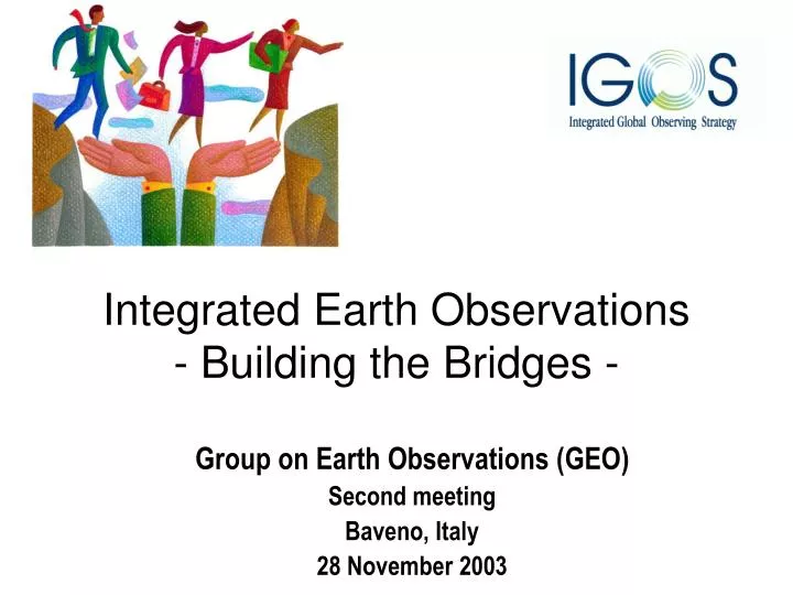
Integrated Earth Observations - Building the Bridges -. Group on Earth Observations (GEO) Second meeting Baveno, Italy 28 November 2003. Outline. What is IGOS? IGOS strategy IGOS themes Challenges and opportunities. IGOS partnership.

E N D
Integrated Earth Observations- Building the Bridges - Group on Earth Observations (GEO) Second meeting Baveno, Italy 28 November 2003
Outline • What is IGOS? • IGOS strategy • IGOS themes • Challenges and opportunities
IGOS partnership A coalition of international organizations working to define, develop and implement a global earth observing strategy on a basis of “best effort” and shared interest.
IGOS –P brings together UN organizations WMO Global observing systems International science and research programmes
Land Need for earth observations Climate Atmosphere Disasters Biodiversity Ecosystems Oceans Health
IGOS strategy (1) • Bring together the major surface and satellite-based systems for global environmental observations of the atmosphere, land and oceans in a strategic planning process • Use the process to build collaboration among partners: • A common approach to surface and satellite observations • Products that respond to needs defined by users • Identifying gaps in observations • Exchange information and coordinate efforts • Harmonizing measurements
IGOS strategy (2) • Cost-effectiveness and a relevant socio economic context by defining: • Who are the users (in policy, research, operational services) and what products do they want? • What data, processing and analysis are required to meet those needs? • Which observations provide the best data? • What observing networks are needed to make the observations? • Bring together users, who know best what is needed, with data providers who know best what can be produced • Dialogue between earth observation community and users, such as international conventions, should occupy a central role in an integrated earth observation plan
IGOS themes (1) • Process for developing themes : • Form a group of interested partners and internationally recognized experts • Consult user communities to define needs and products • Assess current status of observations • Identify gaps in coverage and actions required • Theme content : • Objectives • Roles and responsibilities • Milestones • Evaluation criteria • Level of effort required
IGOS themes (2) - Oceans - Coral reefs sub-theme Under implementation : Ready for implementation : - Carbon - Water - Geohazards Advanced development : - Atmospheric chemistry - Coastal Under development : - Land
Selected theme products (1) • Oceans • Continuity in ocean colour observations • Improved measurements of fishery productivity • Seasonal climate predictions for El Niño and La Niña • Carbon • Accurate regional, global estimates of carbon stocks and fluxes • Integration of land and ocean carbon datasets • Improved climate modeling results • Water • Ground-based water observation networks • Improved global rainfall estimates
Selected theme products (2) • Geo-hazards • Topographic and geologic mapping of geo-hazard zones • Monitoring of ground deformation and seismicity • Atmosphere • Air quality forecast and pollution source / transport measurements • Forecast of stratospheric ozone and UV irradiance • Coastal • Dynamics of change in coral reef systems • Estimates of global sediment flows from land into coastal systems • Land • High resolution global land cover mapping • Active fire monitoring
IGOS contributes to all GEO sub-groups and the Secretariat GEO US, EC, Japan, South Africa (Co-chairs) Architecture GEO Secretariat (US providing administrativesecretariat, with support from other countries and international organizations) Capacity building Data utilization International cooperation … but challenges remain … User requirements, outreach
GEO / IGOS opportunities • Provide a strong GEO policy framework that guides governments toward building an integrated earth observation system and mechanisms that facilitate coordination and cooperation between governments and international organizations • Begin developing a few prototype projects based on an “end-to-end” process of observation, capacity building, processing, analysis and dissemination at national, regional and global levels
Vi ringrazio! Dietrich E. Leihner Co-chairman,Integrated Global Observing Strategy Partnership FAO Director, Research, Extension and Training Division, Rome Italy