Download
1 / 15
160 likes | 361 Views
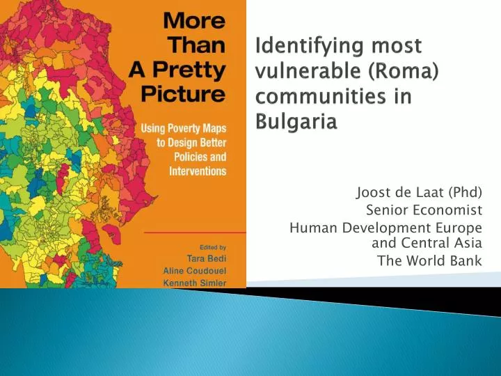
Identifying most vulnerable (Roma) communities in Bulgaria. Joost de Laat (Phd) Senior Economist Human Development Europe and Central Asia The World Bank. Outline. 2012 Bulgaria Poverty Mapping project – Statistical Office/ World Bank / European Commission

E N D
Identifying most vulnerable (Roma) communities in Bulgaria Joost de Laat (Phd) Senior Economist Human Development Europe and Central Asia The World Bank
Outline • 2012 Bulgaria Poverty Mapping project – Statistical Office/ World Bank / European Commission • What are poverty maps? Going from high level NUTS to small LAU areas • Combining 2011 census information with EU-SILC survey information as a (potential) way to poverty mapping • Bulgaria poverty mapping case study
How to go from ‘high-level’ NUTS…? http://epp.eurostat.ec.europa.eu/portal/page/portal/nuts_nomenclature/principles_characteristics
Example: NUTS 3 Example: Nuts 3 in Bulgaria represent 28 regions; Nuts 2 is 6 regions; Nuts 1 is 2 regions
…down to ‘Local Administrative Units’ LAU levels 1 and 2? http://epp.eurostat.ec.europa.eu/portal/page/portal/nuts_nomenclature/local_administrative_units
LAU 1: Bulgaria Poverty Incidence Map LAU 1 level (‘nuts 4’) – 262 municipalities (2005)
Estimating EU Poverty Indicators @ LAU levels: Main Challenge In summary: • Household survey like EU-SILC have breadthof indicators, but sample sizes too small to be representative for local area units • Population censuses do allow small areas calculations but frequently lack breadth of indicators necessary to calculate main poverty indicators Source: “EU legislation on the 2011 Population and Housing Censuses” (Eurostat 2011, ISSN 1977-0375)
Small Area Estimation: CombineCensus and Survey Information Step 1 Background characteristics unique to EU-SILC Common Household Background Characteristics EU-SILC or other detailed survey Household Welfare Indicator(s) such as at-risk-of-poverty in EU-SILC Step 0 Step 2 Household Welfare Indicator(s) such as at-risk-of-poverty not in census Common Household Background Characteristics National Population Census POVERTY MAP(S)
What are Poverty Maps? • Highly disaggregated databases of: • Poverty • Inequality • Average income/consumption • Calorie intake • Under-nutrition • Other indicators (health, employment etc)
Bulgaria Poverty Map Case Study • Goals • Identify poor municipalities • Serve a basis for targeting for poverty reduction • Implementation: Joint team (Data Users’ Group) • Leadership of the Ministry of Labor and Social Policy (MLSP) • Technical expertise of the National Statistical Institute (NSI) • Active involvement of leading Bulgarian academics • World Bank financing and technical assistance • Outcomes • 2003 and 2005 poverty incidence maps
Bulgaria Poverty Map Case Study • Methodology • Data sources: 2001 Census and 2001 and 2003 Bulgaria Integrated Household Surveys (BIHS), and district level indicators • BIHS: 2,500-3,023 households, representative at NUTS 1 (Sofia, urban, rural level) • 30 common indicators between Census and BIHS • Standard “small-area estimation” procedure • Municipal level indicators estimated • Poverty rate, poverty depth, severity of poverty, and Gini coefficients
Bulgaria Poverty Map Case Study Main Findings • Considerable variation in poverty levels across municipalities: 3%-40% of individuals • Considerable variation in poverty levels across municipalities within the same district • Poorest areas characterized by relatively higher shares of ethnic minorities (Roma and Turkish households) • Poorest areas characterized by lacking in: • human capital endowment (prevalence of people with low education attainment, or elderly pensioners), and • infrastructure
Bulgaria Poverty Map Case Study • Policy use • Strategic poverty documents, e.g. • The National Plan for Poverty Reduction 2005-2006 • Strategy for Reduction of Poverty and Social Exclusion 2006-08 • District Development Strategies 2005-2015 • Targeting of antipoverty interventions • Program for Poverty Reduction in the (13) Poorest Municipalities • Targeting of Social Investment Fund (SIF) projects • included in a multi-dimensional continuous scoring formula applied for ranking of municipal proposals, along with other indicators • Social Investment and Employment Promotion Project (WB)
Identify vulnerable communities concluding Remarks • Appropriate for targeting Poverty maps can be very useful tool to target poorest areas • Implemented around the world. • Window of opportunity: 2011 Censuses and annual EU-SILC or HBS survey data • Involve community of Roma stakeholders to identify Roma communities on poverty map and build ownership