Download
1 / 45
460 likes | 687 Views
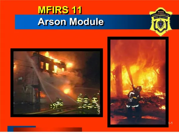
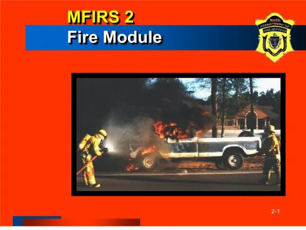
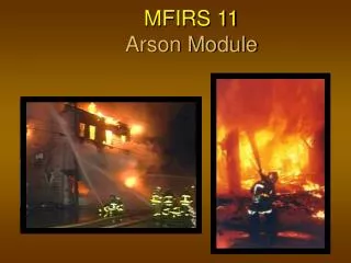
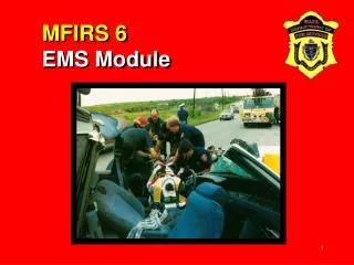
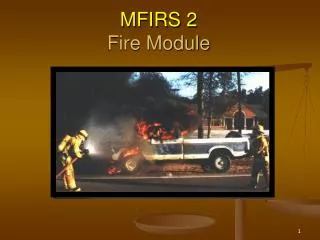
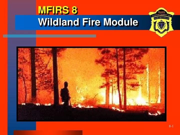
MFIRS 8 Wildland Fire Module. Optional Wildland Fire Module. The State Fire Marshal will accept this data… Currently this module does not replace required reporting to the State Forest Warden. Wildland Fire Module.

E N D
Optional Wildland Fire Module • The State Fire Marshal will accept this data… • Currently this module does not replace required reporting to the State Forest Warden
Wildland Fire Module • Due to the time limitations of today's presentation we can not cover this optional module
Objectives • The participants will be able to: • describe when the Wildland Fire Module is to be used • demonstrate how to correctly complete the Wildland Fire Module given an incident scenario
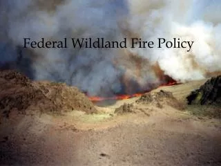
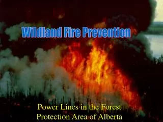
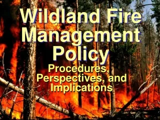
Purpose of Wildland Fire Module • The purpose of the Wildland Fire Module (NFIRS-8) is to document reportable wildland fires: Any fire involving vegetative fuels that occurs in the wildland or urban-wildland interface areas, including those fires which threaten or consume structures
Use of Wildland Fire Module • The Wildland Fire Module is primarily used instead of the Fire Module (NFIRS-2) when Incident Type is: • Forest, woods, or wildland fire (141) • Prescribed fire (632)
Use of Wildland Fire Module • The Wildland Fire Module may also be used for the following incident types: • vegetation fire, other (140) • brush, or brush and grass mixture fire (142) • grass fire (143) • cultivated vegetation, crop fire, other (170)
Use of Wildland Fire Module • . . . and for these additional types • cultivated grain, crop fire (171) • cultivated orchard or vineyard fire (172) • cultivated trees or nursery stock fire (173) • unauthorized burning (561) • controlled burning, authorized (631)
A - Header Information Header information is repeated on all modules . . . • In an automated system, this information is entered once and imported into all modules
B - Alternate Location Specification • Is used in place of Section B of the Basic Module (NFIRS-1) when traditional addressing methods are not suitable Documents the geographical location of the wildland fire
C - Area Type • This is a general description of the area where the wildland fire occurred • Provides for the documentation of fires occurring in urban-wildland interface areas
D1 - Wildland Fire Cause • Provides for the broadest classification of ignition causes consistent with the “General Fire Causes” adopted by the National Wildfire Coordinating Group (NWCG)
D2 - Human Factors Contributing to Ignition • Provides several options to record human factors that contributed to the ignition of a fire
D3 - Factors Contributing to Ignition • The contributing factors that allowed the heat source and combustible material to combine to ignite the fire Up to two factors that contributed to the ignition of the wildland fire may be reported
D4 - Fire Suppression Factors • Documents the factors or condition that affected fire suppression efforts or fire management strategy
E - Heat Source • The specific source of the heat energy that started the fire • Example: A discarded cigarette (61) ignited the brush, resulting in a wildland fire
F - Mobile Property Type • Refers to property that is designed to be mobile • Used to document if mobile property failed, was used improperly, or provided the heat that caused ignition
G - Equipment Involved in Ignition • Documents the equipment that provided the principle heat source to cause the ignition
H - Weather Information • Descriptive information regarding weather conditions that existed at the time and location of the fire origin
NFDRS Weather Station Identification • Records the ID number for the NFDRS Weather Station that monitors weather conditions at the location of fire origin
Weather Type • The general description of weather conditions at the time and location of fire origin
Wind Direction & Speed • The direction the wind was blowing and the speed of the wind at the location of fire origin
Temperature & Relative Humidity • Records the ambient air temperature and the relative humidity at the time of fire origin
Fuel Moisture • The ten-hour reading of the moisture content of a fuel stick taken in the general area of the fire origin
Fire Danger Rating • Refers to one method of describing the wildfire threat in a particular area, based on the NFDRS
I1 - Number of Buildings Involved • Records the number of buildings, if any, that were involved in the wildland fire
I2 - Number of Buildings Threatened • Records the number of buildings, if any, that were threatened, but not involved in the wildland fire
I3 - Total Acres Burned • Records the estimated number of total acres burned by a wildfire
I4 - Primary Crops Burned • Identifies up to three types of crops that burned • The crop with the most acres burned should be listed first
J - Property Management • The percentage of total acres burned for each type of ownership involved and the entity having responsibility for the property where the fire originated
K - Fuel Model at Origin • Identifies the NFDRS fuel model that best describes the type of vegetation burned at the point of origin
L1 - Person Responsible for Fire • Identifies whether or not a person (known or unknown) was responsible for the fire
L2 - Gender of Person Involved • Identifies the gender (sex) of the person responsible for causing the fire
L3 - Age or Date of Birth of Person Responsible • Identifies the age or date of birth of the person responsible for causing the fire
L4 - Activity of Person Involved • Describes the primary activity of the person responsible for causing the fire
M - Right of Way • The horizontal distance of the point of fire origin from the right-of-way and the description of the right-of-way • Used only for fires started on or near a right-of-way
N - Fire Behavior • These optional descriptors refer to observations made at the point of initial attack
Elevation • The distance from sea level to the wildland fire
Position on Slope • This observation indicates the relative position of the fire on a slope at the time of initial attack
Aspect • This observation indicates the general direction that a given slope faces
Flame Length • This observation refers to the distance between the flame tip and the midpoint of the flame depth at the base of the flame
Rate of Spread • This is a measurement of the approximate rate of forward spread of a fire front, expressed in chains per hour
Summary • The “optional” Wildland Fire Module (NFIRS-8) is to document reportable wildland fires • Any fire involving vegetative fuels that occurs in the wildland or urban-wildland interface areas • includes those fires which threaten or consume structures • The Wildland Fire Module permits wildland fires to be profiled in depth for resource allocation, incident management, and fire impact analysis