Download
1 / 18
180 likes | 305 Views
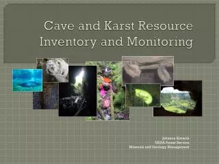
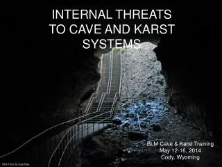
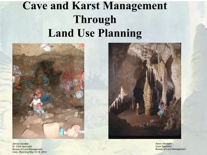
Cave and Karst Management Through Land Use Planning. Aaron Stockton Cave Specialist Bureau of Land Management. James Goodbar Sr. Cave Specialist Bureau of Land Management Cody, Wyoming May 12-16, 2014. Why Land Use Planning?. Provides for Actions Needed to Implement

E N D
Cave and Karst Management ThroughLand Use Planning Aaron Stockton Cave Specialist Bureau of Land Management James Goodbar Sr. Cave Specialist Bureau of Land Management Cody, Wyoming May 12-16, 2014
Why Land Use Planning? • Provides for Actions Needed to Implement • Restricts Uses That May be Adverse to Significant Cave Resources • Allows for Budget Access • Establishes Priorities • Basis of NEPA-Activity Management Plans
Cave / Karst ManagementThrough Land Use Planning Required by: • Federal Cave Protection Act • FLPMA • Forest and Rangeland Renewable Resources Planning Act • NEPA/CEQ Regulations • Endangered Species Act • Manuals
Cave / Karst Management Through Land Use Planning Purpose: • Primary Mechanism for Guiding Activities to Achieve Mission & Goals • Desired Outcomes (Your Vision) • Allowable Uses/Restrictions & Mgmt. Actions • Collaborative Involvement • Integrates NEPA
Cave / Karst ManagementThrough Land Use Planning Levels of Planning • Resource Management Plan (Field Office) • Activity Level Plan (Cave/ Area) • Project Plan (Specific Action ie. Gate)
Resource Management PlanSTEP 1. Analysis of Management SituationAMS • 1. Introduction (Blah, Blah, Blah) • 2. Area Profile (Existing Resource Conditions) • 3. Current Management Direction • 4. Management Opportunities • 5. Coordination with Other Plans • 6. Specific Mandates and Authorities
Analysis of Management SituationAMS • 2. Area Profile (Existing Conditions) • Resources • Regional Context - Local, Regional, National • Resource-Specific Information • Indicators - Factors Describing Conditions • Current Conditions - Location, Extent, Condition • Trends - Degree and Direction of Change • Forecast - Predict Changes, Describe Drivers • Key Factors - What Should Guide Mgmt. Decisions
Analysis of Management SituationAMS • 2. Area Profile (Existing Conditions) • Resource Use • Current Levels • Forecast • Key Features • Special Designations • Area of Critical Environmental Concern (ACEC) • Special Recreation Management Area (SRMA) • Socio Economic
Analysis of Management SituationAMS • 3. Current Management Direction • Relevant Plans and Amendments • Management Decisions
Analysis of Management SituationAMS • 5. Coordination with Other Plans • County/city plans • State Comprehensive Wildlife Conservation Strategies, State lands plans • Other Federal agency plans
Analysis of Management SituationAMS • 6. Specific Mandates & Authority • Laws • Regulations • Policies
Resource Management PlanStep 2.Roll the Information Form the AMS Into the RMP • 1. Introduction (Blah, Blah, Blah) • 2. Area Profile (Becomes Affected Environment) • 3. Current Management Direction (Existing Decisions) • 4. Management Opportunities (Becomes Alternatives) • 5. Coordination with Other Plans • 6. Specific Mandates and Authorities (New Guidance)
Basis for Land Use Planning: • 1601 Manual1601 Land Use Planning Manual: Appendix C, Pg. 13, L • 1. Management (resources, visitors, facilities • 2. Marketing (outreach, education, interpretation • 3. Monitoring (social, environmental, administrative) • 4. Administration (regulatory, permit)
Plans Are Guided By..... • Laws, Rules, Regulations, Policy • Inventory Data/ Caves/ Geology • Available Resources (funds, staff, volunteers) • Land Uses (above cave) • Info/Data from Cave Files • Your Partners • Your Imagination
What’s Included In Land Use Planning Decisions • Objectives for actions: Protections, use, restoration, • Desired future condition: Describe what you are trying to achieve • Allocation: The line on a map. • ACEC determination. • Evaluation of public nominations, • Basis for use: Recreation , Research, Habitat Protection • Monitoring: How do you know when what you are doing is the right thing, or how to measure success?
Key Point • Involve Your Partners Early and Often • Through the EIS Process There are Required Points for Public Involvement • Listen to Your Constituent Groups • Often They Know the Resources Better Than You Do.
? QUESTIONS ? Where does this passage go? Modified from 2001 Buzz Hummel and 2007 Geoff Middaugh Presentations Photos by : Jim Goodbar, Mat Safford, BLM stock.