Download
1 / 11
110 likes | 261 Views
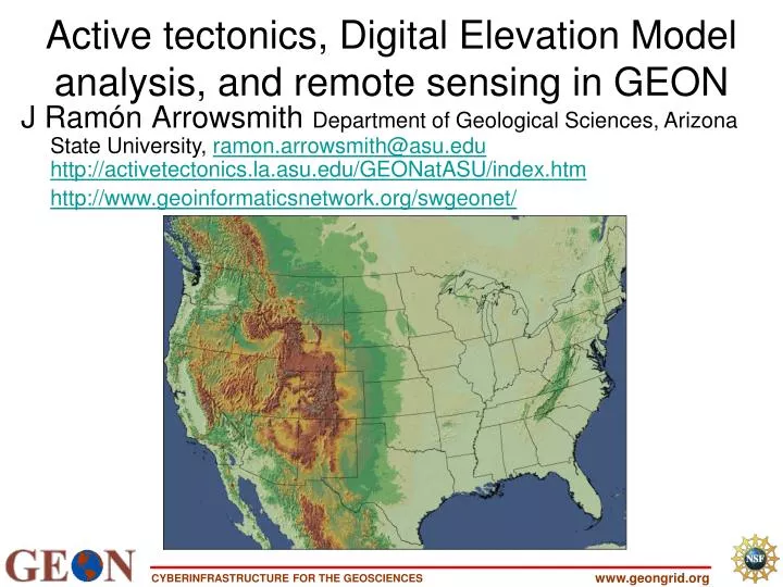
J Ramón Arrowsmith Department of Geological Sciences, Arizona State University, ramon.arrowsmith@asu.edu http://activetectonics.la.asu.edu/GEONatASU/index.htm http://www.geoinformaticsnetwork.org/swgeonet/. Active tectonics, Digital Elevation Model analysis, and remote sensing in GEON.

E N D
J RamónArrowsmithDepartment of Geological Sciences, Arizona State University, ramon.arrowsmith@asu.eduhttp://activetectonics.la.asu.edu/GEONatASU/index.htm http://www.geoinformaticsnetwork.org/swgeonet/ Active tectonics, Digital Elevation Model analysis, and remote sensing in GEON www.geongrid.org
http://gldims.cr.usgs.gov/qfault/viewer.htm & http://www.world-stress-map.org www.geongrid.org
Digital Elevation Data ChallengeLIght Detection And Ranging-with Chris Crosby • Airborne scanning laser rangefinder • Differential GPS • Inertial Navigation System 30,000 points per second at ~15 cm accuracy Extensive filtering to remove tree canopy (virtual deforestation) Figure from R. Haugerud, U.S.G.S – http://duff.geology.washington.edu/data/raster/lidar/About_LIDAR.html NCALM and GeoPBO ties! DEM use case scenario www.geongrid.org
Northern San Andreas LIDAR: fault geomorphology Full Feature DEM Bare Earth DEM www.geongrid.org
GEON LiDAR hosting and interpolation - conceptual workflow (also available for all DEM processing) Other DEMs www.geongrid.org
Very useful data, but difficult to locate appropriate scenes, acquire, process and manipulate data for many users. So, we built a system to do “on-the-fly” processing and delivery in a variety of useful formats (note that this was just presented at the ESRI User’s conference) http://asterweb.jpl.nasa.gov/ www.geongrid.org
ASTER level-1B data have had system radiometric corrections and geometric coefficients applied and are reprojected to a given map projection. 2300 “granules” available www.geongrid.org
ArcIMS, Java Servlet, Manager Program, Java Implemented Server Connection Method www.geongrid.org
Java Servlet – Welcome Screen Display information to user and communicates with the Manager program, relaying relevant information www.geongrid.org
Manager Program Passes the request onto the next available server (running on GEON Node at ASU) GEON grid nodes (4 Tb + 10 processors @ASU) www.geongrid.org
Java Servlet - Results Screen Display results of IDL processing to user and offer for download processed information (thumbnail and larger *.jpg; *.tar.gz contains full and 8x reduced GEOTIFF [*.tif and *.tfw]) www.geongrid.org