Download
1 / 12
120 likes | 240 Views
Flood Risk Management - p rogress since 2007. Matt Maginnis Worcestershire County Council. Long history of flooding in Worcestershire. Main rivers – Severn, Teme, Avon Many smaller watercourses Surface water

E N D
Flood Risk Management- progress since 2007 Matt Maginnis Worcestershire County Council
Long history of flooding in Worcestershire • Main rivers – Severn, Teme, Avon • Many smaller watercourses • Surface water • Significant impact on major settlements eg Bewdley, Worcester, Upton, Tenbury, Evesham • Significant impact on scattered rural communities • Significant impact on people, environment and economy
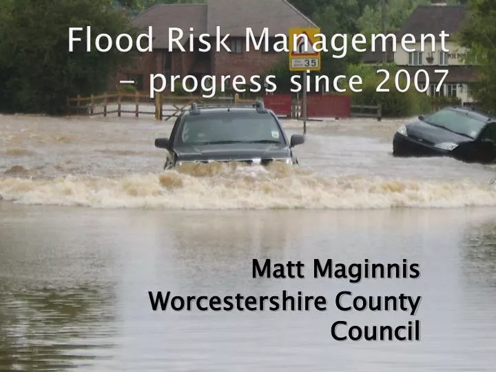
Major flood event of July 2007 • Wettest May – July since 1766 • Drainage and many defences overwhelmed • Majority of flooding from surface water, not rivers • 4,784 properties internally flooded • Severe impact on businesses, schools, care homes and GP surgeries • Much of the highway and transport network disrupted inc closure of the M5
Progress since 2007 • Governance • Assessment of flood risk • Reduction of flood risk • Reduction of flood impact • Response to flood related legislation
Governance • Regular Overview & Scrutiny • Establishment of the multi-agency ‘Strategic Co-ordinating Group’ • Establishment of the multi-agency ‘Worcestershire Land Drainage Group’ (tactical & operational) • Development of County & District partnership • Allocation of staff resources
Risk assessment • Survey, mapping and assessment of past and future flooding • Survey and mapping of drainage infrastructure • Production of Strategic Flood Risk Assessments • Production of Preliminary Flood Risk Assessment • Production of Surface Water Management Plan
Risk reduction • Local and major flood prevention schemes • Over £8m inward investment • Highway drainage improvement programme • Over £6m invested to date • Over 500 schemes completed • Highway gully / drainage infrastructure improvement programme • Highway gully jetting regime • Ordinary watercourse management • Development control
Flood impact reduction • Spatial Planning • Flood defence schemes • Individual property / infrastructure protection • Multi-Agency Flood Plans • Community resilience plans • Operational emergency plans eg Highways • Worcestershire Recovery Plan
Response to legislation • Floods & Water Management Act (2010) • Lead Local Flood Authority • Surface Water Management Plans • Local Flood Risk Management Strategies • Sustainable Drainage Systems (SuDs) • Increased partnership working and data sharing • Flood Risk Regulations (2009) • Preliminary Flood Risk Assessments • Flood risk mapping • Flood risk management plans
Some future challenges • Assessing and mitigating future potential flood risk • Climate change – wetter winters, more summer flash flooding • Funding, capacity and skills • Encouraging individual and community resilience • Bedding in new responsibilities and processes • Further requirements of legislation eg SuDs • Local Flood Risk Management Strategy