Download
1 / 9
90 likes | 269 Views
Exxon Valdez. Exxon Valdez Oil Spill 1989: GIS Coverages used to assess the impact. GIS coverages used. GIS Coverages used to assess the impact. Satellite – image classified in land uses Digitial Elevation Model GIS coverages of Landuse – including marine reserves Land Ownership

E N D
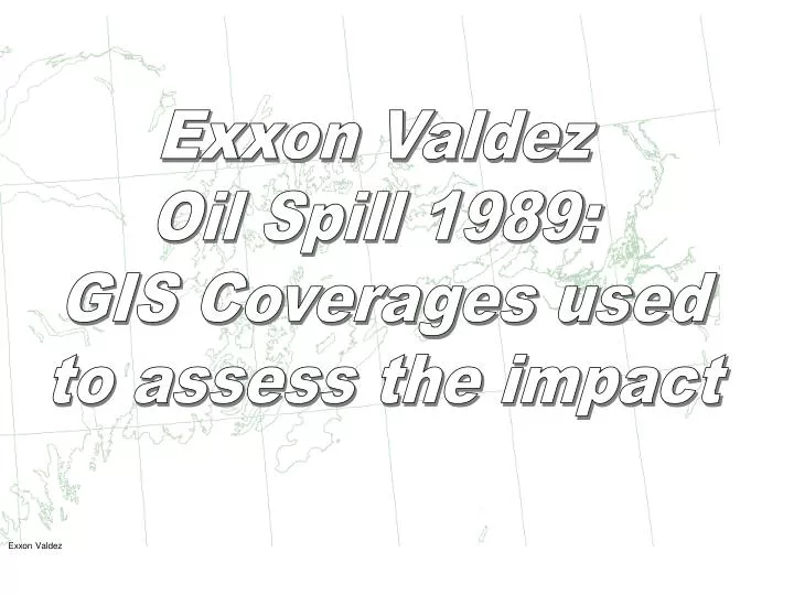
Exxon Valdez Exxon Valdez Oil Spill 1989: GIS Coverages used to assess the impact
GIS coverages used GIS Coverages used to assess the impact • Satellite – image classified in land uses • Digitial Elevation Model • GIS coverages of • Landuse – including marine reserves • Land Ownership • Infrastructure – towns, roads, pipeline • Sensitive recreation areas – bays, campsites, etc • Sensitive biological data, marine birds, Eagle nests GIS data from State and Federal Agencies GIS compiled by EcoTrust, Conservation International & Pacific GIS Map preparation Richard Knight, Dept. of Biodiversity and Conservation Biology, University of the Western Cape.
Trajectory of the oil spill Trajectory of the oil spill Start of the oil spill Direction of the oil spill
High, Medium, Light and Very Lightly impacted areas Impact of the oil spill High Medium Light Very light
Impacts on Recreational Areas Impact on recreation Recreation areas Impacts
Impacts on Marine Reserves Impact on Marine Birds Marine Bird Colonies Impacts
Impacts on Eagle Nests Impact on Eagle Nests Eagle Nests Impacts
Ranking of the sites in the Contingency Plan Implementing a contingency plan 3 4 1 2 Ranking Sites