Download

1 / 12
150 likes | 397 Views
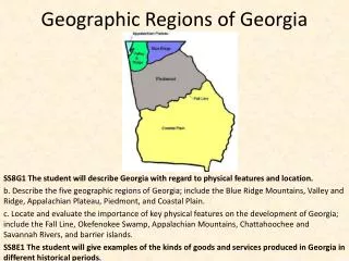
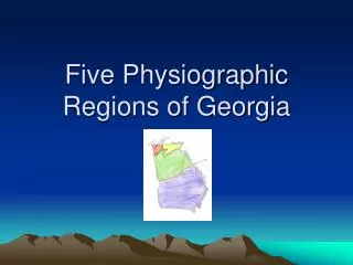
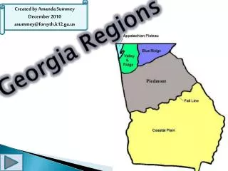
Five Regions of Georgia. 5 Regions of GA. The Blue Ridge Mountains. North East GA Electricity created through hydroelectric power Beautiful lakes: Allatoona , Lanier, Hartwell, Oconee. Appalachian Valley and Ridge. Known for textile and carpet manufacturing Cattle graze in the valleys

E N D
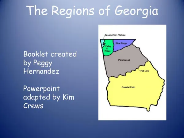
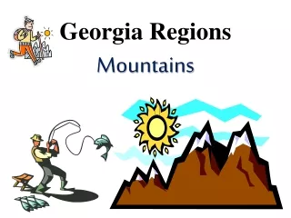
Five Regions of Georgia 5 Regions of GA
The Blue Ridge Mountains • North East GA • Electricity created through hydroelectric power • Beautiful lakes: • Allatoona, Lanier, Hartwell, Oconee
Appalachian Valley and Ridge • Known for textile and carpet manufacturing • Cattle graze in the valleys • Rich soil • Fruits, grains, vegetables
Appalachian Plateau • Very poor farming area because of its sandy soil • Made of two flat topped mountains that form the Chickamauga and Lookout valleys • Very northwest corner of the state
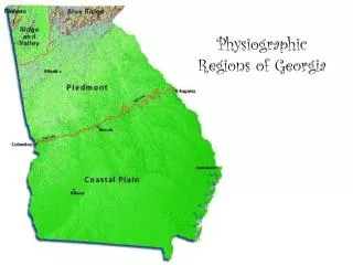
Piedmont • Central GA • Business • Almost half the GA population lives there • Atlanta, Athens, Augusta, Columbus, Macon • Rolling hills slowing toward the south • Piedmont meets the coastal plains at the fall line
Fall Line • Boundary about 10 miles wide that separates the piedmont and coastal plains regions • Called fall line because of the waterfalls • Lots of towns along the line because the topography was difficult to travel over
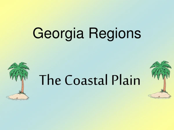
Coastal Plains • Southern areas, makes up almost half of the state • Touches the Atlantic and Gulf of Mexico • Atlantic coastal plain • WestGulf coastal plain • Good farming • Soybeans, peanuts, tobacco, onions, sweet potatoes
Okefenokee Swamp • 400 species of animals • Largest swamp in North America • 700 miles of the southeast corner are covered by the swamp • Seminole Indians called it “land of the trembling Earth” • In 1937 became a National Wildlife Refuge • Keeps the ecosystem healthy
Appalachian Mountains • Southernmost part of the APP MTNS is the Blue Ridge Mountains • Highest peak in GA is Brasstown Bald in Towns County • 4,786 feet above sea level • States highest and wettest areas • Waterfalls
APP. MTNS. CONT. • Crest, or top, of the BRM forms the Continental Divide • Divides the direction in which ricers drain • Rains on the west flow to the Gulf of Mexico • Rains on the east drain into the Atlantic