1 / 28

GIS

GIS. A G eographic I nformation S ystem integrates hardware, software, and data for capturing, managing, analyzing, and displaying all forms of geographically referenced information. Basic maps like the United States for early learners,

chars
Download Presentation

GIS

An Image/Link below is provided (as is) to download presentation Download Policy: Content on the Website is provided to you AS IS for your information and personal use and may not be sold / licensed / shared on other websites without getting consent from its author. Content is provided to you AS IS for your information and personal use only. Download presentation by click this link. While downloading, if for some reason you are not able to download a presentation, the publisher may have deleted the file from their server. During download, if you can't get a presentation, the file might be deleted by the publisher.

E N D

Presentation Transcript


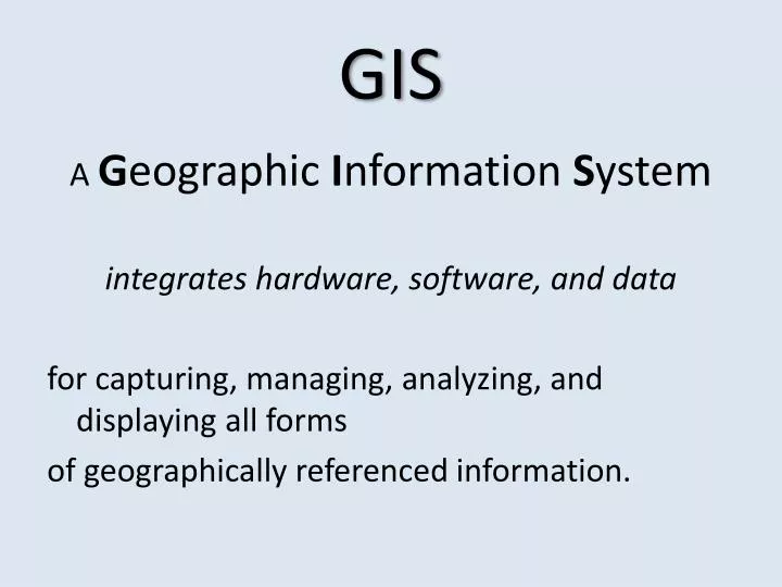
  1. GIS A Geographic Information System integrates hardware, software, and data for capturing, managing, analyzing, and displaying all forms of geographically referenced information.

  2. Basic maps like the United States for early learners, showing political boundaries of states and their capitals.

  3. Use colors on a map to define topography: mountains, plains, water, snow peaks, deserts.

  4. Add contour lines for greater definition & detail.

  5. Maps for towns and cities

  6. Maps with political information such as election results state by state

  7. … or county by county

  8. …or in such a way to represent population instead of area.

  9. Maps to show changes throughout history.

  10. …or identify locations of historic events and their importance relative to each other.

  11. Maps to see things we can’t ordinarily see.

  12. Maps as diagrams of game plans.

  13. Maps to layout events or activities

  14. Maps to explain

  15. Another view of same setting

  16. Maps help us plan

  17. Overlaying maps help us to relate different features with one another

  18. Distribution of R and D voters in a district

  19. All five precincts have 13 R and 12 D.

  20. Upper left precinct has 8D and 16R, all others have 13D and 12R

  21. District 17 was created grabbing Democratic cities to assure that districts 18 and 19 were Republican.

  22. Maps help identify hazards such as flooding potential

  23. … or radon potential

  24. Map of the Settings of Shakespeare’s Plays Yet to be created and uploaded onto the Internet

  25. Mapping programs such as GoogleEarth allow us to create our own presentations

More Related