Download
1 / 9
90 likes | 197 Views
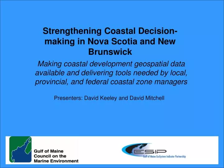
Strengthening Coastal Decision-making in Nova Scotia and New Brunswick. Making coastal development geospatial data available and delivering tools needed by local, provincial, and federal coastal zone managers. Presenters: David Keeley and David Mitchell. Terrestrial to Marinescape Goals.

E N D
Strengthening Coastal Decision-making in Nova Scotia and New Brunswick Making coastal development geospatial data available and delivering tools needed by local, provincial, and federal coastal zone managers Presenters: David Keeley and David Mitchell
Terrestrial to Marinescape Goals • Local, provincial and federal coastal managers, decision-makers, and lawmakers in Nova Scotia and New Brunswick will have new tools to better understand and manage coastal development around the Bay of Fundy • Other outcomes • Integrate coastal development information with coastal aquatic habitat, eutrophication and contaminants data • Demonstrate utility/value of these tools (NB and NS) with intent to subsequently apply province-wide
Gulf of Maine Council’s Ecosystem Indicator Partnership (ESIP) Workshops focused on assessing the importance and role of indicators • Focus Areas - determined by user-needs assessments: • Coastal Development • Contaminants • Climate Change • Eutrophication • Fisheries and Aquaculture • Aquatic Habitats Users Needs Assessments Formation of ESIP Momentum Feedback and Listening Sessions Council’s Action Plan Strong emphasis on looking at the Gulf of Maine as an integrated ecosystem
Expected Project Partners • ESIP Steering Committee (DFO, EC, USGS, EPA, NOAA) • ESIP Coastal Development Subcommittee (includes NS Dept. of Fisheries and Aquaculture, DFO, CA Wildlife, EC NR Can, USGS, NB Env., NB DOF/MDP, several universities, etc.) plus US colleagues • Atlantic Coastal Action Program (ACAP) – four ACAP sites • GOMC IT Committee (DFO, UNH) • City of Saint John, Moncton and other municipalities • COIN Atlantic/Atlantic Coastal Zone Information Steering Com.
Key Issues of Concern • Future population growth and the corresponding increase in development in the coastal zone are widely recognized as major threats to the integrity of coastal systems and their watersheds. • The potential impacts associated with increasing amounts of impervious surfaces include significant changes in water quantity, degradation in water quality, and habitat loss are priority issues for coastal managers.
Goals of the Project Improve coastal development decision-making in Bay of Fundy region by making geospatial data available. Focus will be on the critical priority indicators: 1. Population Density 2. Employment Density 3. Impervious Surfaces • Integrated Land-Use Tool will include indicators from: • Aquatic Habitats • Contaminants • Eutrophication • Coastal Development
Importance to New Brunswick • Needs: • * No impervious surfaces info available to communities • * This tool is crucial to • Preserve natural areas in watersheds • Meet objectives under the Climate Change Action Plan 2007 - 2012 • Aligns with other projects: • Climate Change Action Plan objectives for all communities • Use sustainable building practices • Construct infrastructure that minimize GHG emissions • Promote conservation design & adapt smart growth principles
Importance to Nova Scotia • Needs: • Strategic planning tools to ensure consistent and effective provincial and local level planning throughout Nova Scotia • Municipal and provincial capacity and expertise • A provincial inventory of baseline data in which to measure medium and long term success and direction. • Aligns with other projects: • Coastal Management Framework • Water Resources Management Strategy • Natural Resources Strategy • Integrated Community Sustainability Plans
Applications/Use • Land Protection – watershed vulnerability assessment, establish priorities for acquisition, habitat restoration, etc. • Impact assessment -- characterize potential environmental impacts caused by increasing levels of impervious surfaces • Planning – analyze status/trends, community outreach, growth strategies, modeling scenarios, • Land management – assist in reviews of large scale development projects,