Download
1 / 8
80 likes | 275 Views
Sensitivity of glacially-fed rivers to rapid climate change: Ladakh, NW Himalaya. Daniel Hobley Supervisors: Hugh Sinclair, Patience Cowie, Tibor Dunai Grant Institute.

E N D
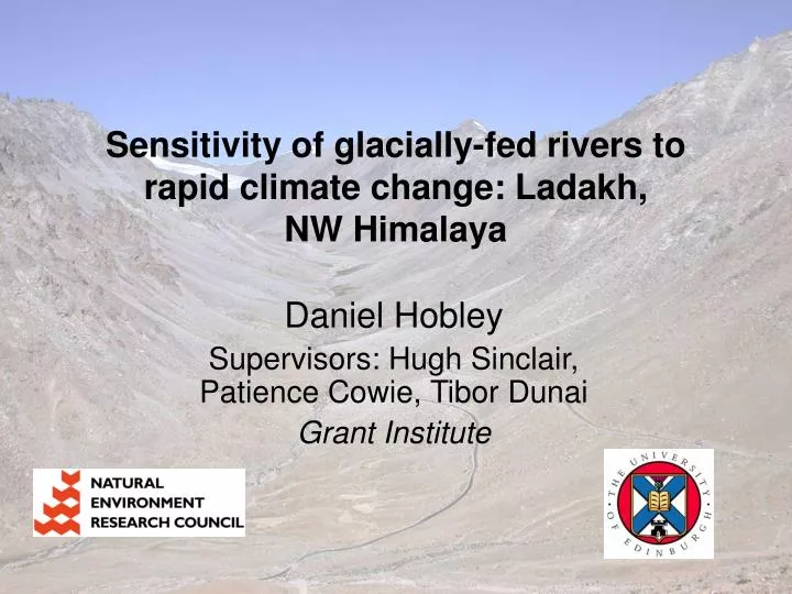
Sensitivity of glacially-fed rivers to rapid climate change: Ladakh, NW Himalaya Daniel Hobley Supervisors: Hugh Sinclair, Patience Cowie, Tibor Dunai Grant Institute
“Late Cenozoic uplift of mountain ranges and global climate change: chicken or egg?” (Molnar & England, 1990) • Disequilibrium alters process rates • Timescales? • Erosive mechanisms? • Relative importance? ?
Glacial rivers vs normal rivers • Enhanced erosion • Enhanced discharge • Reduced variability • …but with Jokulhlaups • Temperature controlled • Altered sediments • Signals transmitted …we need to quantify these effects.
Study area: Ladakh, NW Himalaya • Restricted glacial area, variable down batholith • Simple chronology • Dry (Arctic desert) • Constant forcings • Limited human alteration • Many comparable catchments 100km
Approx extent of significant glacial alteration Typical fluvial profile Unglaciated catchment Max modern glacial extent Fluvial section Increased concavity (elevated erosion rates) Major knickpoint Glaciated catchment Approach 1. GIS study Slope plot DEMs used to obtain channel form, drainage area, slope data
Sediment supplied 2. Fieldwork Modern glacial behaviour Sediment caliber Channel morphometry Nature of knickpoint & gorging Channel width • Groundtruthing • Measuring critical field parameters… • …and how they vary downstream • Cosmogenic samples • Compare glaciated and unglaciated catchments
3. Modelling • Can we mechanistically understand the response to the imposed disequilibrium? • Shape vs hydrology • Analytical models? • Or numerical? (e.g., EROS) • Non-“steady state” analysis required… (Crave & Davy 2001)
Outstanding questions Glaciers seem to increase downstream erosion, but… • Fluvial (shape) vs glacial (hydrological) response? • Distribution of erosion in time? • Lifetimes of various aspects of disequilibrium? • Can we scale up? (e.g., to Indus) • Understanding of transient responses of systems?