Download
1 / 13
130 likes | 274 Views
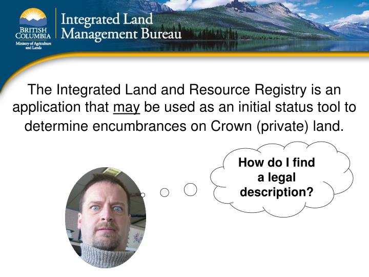
The Integrated Land and Resource Registry is an application that may be used as an initial status tool to determine encumbrances on Crown (private) land. How do I find a legal description?. Here are the steps to “status” a legal description: District Lot 107 YDYD.

E N D
The Integrated Land and Resource Registry is an application that may be used as an initial status tool to determine encumbrances on Crown (private) land. How do I find a legal description?
Here are the steps to “status” a legal description: District Lot 107 YDYD Step 1) In the ILRR “custom status” (I do everything in the custom status so I can save my work) select “location” – legal description. Highlight the “legal description” radio button and press NEXT.
Use Custom Status Location Legal Description Next
Use this screen to narrow down your search… In our case we are looking for a primary parcel… District Lot 107 YDYD Click Search when finished
We found one primary parcel. Click on the hyperlink to advance to the next page
In our example, DL 107 has a PIN = 4665170 and within that Primary Parcel there is one Crown Subdivision PIN = 3859011; you will also notice there are no RoW’s or PID’s Now, highlight the “select” box and click OK
You can see that we’ve selected one parameter (location). Since this is our only parameter we can now “Submit” our query.
Under “Report Description, I encourage users to put a useful description especially if you are outputting the results to a Word document or PDF. In this example we will output to the screen. Click Next
Here are the results, you can click on the hyperlink to see a detailed report, go to the GATOR report or go to the FTA report. Users can also see each interest on the map, create a status report on a specific interest, or create an overlay report, which pulls various layers from the LRDW.
If you are totally confused after reading this you can call and we can work through a scenario together. One thing that I didn’t mention is that you can save your query to anyone with a BCeID or government ID. And you can create a notification on that saved query… this will automatically email you if the results of your query change…ie if a new tenure comes up within your AOI. Alvin Melton, Project Analyst 250-952-5303 Alvin.melton@gov.bc.ca