Download
1 / 13
130 likes | 327 Views
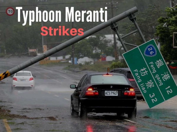
Remote Sensing and Stereography for Natural Disaster: Using Typhoon MORAKOT as an Example. CHIA-SHIN, CHENG NCHC, TAIWAN 29/10/2009 , PRAGMA 17@Hanoi. Outline. Key numbers of typhoon MORKAOT Disaster Images & Video ( Source : Satellite, HDV and CCTV) Summary.

E N D
Remote Sensing and Stereography for Natural Disaster: Using Typhoon MORAKOT as an Example. CHIA-SHIN, CHENG NCHC, TAIWAN 29/10/2009, PRAGMA 17@Hanoi
Outline • Key numbers of typhoon MORKAOT • Disaster Images & Video • (Source : Satellite, HDV and CCTV) • Summary
Key Numbers of typhoon MORAKOT Unit: mm
Key Numbers of typhoon MORAKOT (2) • The total amount of rainfall is about nineteen billion tons, which is equal to the amount of water by consuming for one year in Taiwan. But almost ten billion tons of rainfall fell in the Southern of Taiwan. • Although the amount of rainfall of typhoon MORKAOT fell only 3 days, it brought 1/5of the total amount of rainfall for one year in Taiwan. Ten billion tons
Earth observation satellite – FORMOSAT 2 • FORMOSAT-2 is operated by the National Space Organization (NSPO). • Formosat-2 passes Taiwan twice everyday and takes images of the 2M resolution by the way of seven bands.
Xiaolin Village (1) Before (2) After
Taimali Township (1) Before (2) After
Real-Time Flood Monitoring System GIS map Camera Control GIS map layer control Real-Time Video
Stereo Photo Left eye Right eye Left eye Right eye
Stereo Photo(2) Before Left eye Right eye After Left eye Right eye
(1) Before (2) After
Summary • Remote sensing and stereography can offer useful data for information and analysis. • Users can refer these data of remote sensing and stereography to evaluate the disasters.