Download
1 / 20
200 likes | 200 Views
This study explores the characterization of landscape regularities and their connection to water and biodiversity issues in agricultural territories. The research aims to create new knowledge on cropping systems dynamics and determine how landscape regularities influence biodiversity evaluations.

E N D
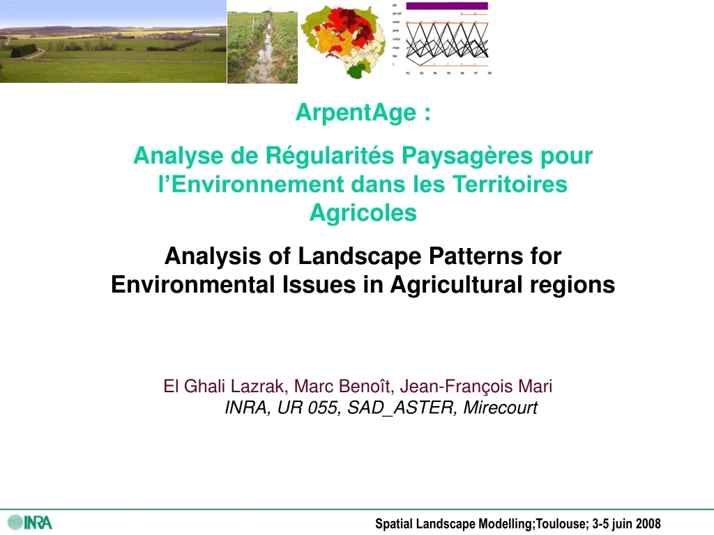
ArpentAge : Analyse de Régularités Paysagères pour l’Environnement dans les Territoires Agricoles Analysis of Landscape Patterns for Environmental Issues in Agricultural regions • El Ghali Lazrak, Marc Benoît, Jean-François Mari INRA, UR 055, SAD_ASTER, Mirecourt
ArpentAge : Analyse de Régularités Paysagères pour l’Environnement dans les Territoires Agricoles Introduction Example 1: Seine basin and CarroTage modelling pro cess : Example 2: Chizé plain and ArpentAg mdelling process: Conclusions: Marc Benoît, Ghali Lazark, Jean-François Mari,
How to caracterize landscape regularities to: Create new images for scenarios building? Link these landscapes regularities with water and biodiversity issues? 3. Use available informations ? 4. Test stochastics methods? Our questions How can we created new knowledges on cropping systems dynamics in landscapes? How these landscape regularities determine biodiversity evaluations?
ArpentAge : Analyse de Régularités Paysagères pour l’Environnement dans les Territoires Agricoles • Introduction • Example 1: Seine basin and CarroTage modelling process : • Example 2: Chizé plain and ArpentAg mdelling process: • Conclusions: Marc Benoît, Ghali Lazark, Jean-François Mari,
Example 1: Agricultural landscapes … for water Spatialization of cropping systems ( crop sequences) in Seine watershed ( 97 000 km²) to implement a simulation model of nitrate and pesticids transfert (Mignolet et al., 2004 ; Ledoux et al., 2007) Birth of CarrotAge: a new « Markov Son » for temporal data mining
Data base on crop sequences: Annual national survey “Teruti” (SCEES) Land use on 550000 points (1982 à 2003), on 155000 points since 2004
Diversity of Crop Sequences in 1990s and their location in Seine basin ( 100000 km²), 147 Agricultural Regions • (Le Ber et al., 2006; Mignolet et al., 2007) pp pa+pt maïs pois colza orge blé ? Picardie plateaux Livestock regions pp pa+pt maïs pois colza orge blé ? 92 92 93 93 94 94 95 95 96 96 97 97 98 98 99 99 pp pa+pt maïs pois colza orge blé ? Barrois plateau Champagne pp pa+pt maïs pois colza orge blé ? 92 92 93 93 94 94 95 95 96 96 97 97 98 98 • Identification of regions caracterized by crop sequences landcsapes
ArpentAge : Analyse de Régularités Paysagères pour l’Environnement dans les Territoires Agricoles • Introduction • Example 1: Seine basin and CarroTage modelling process : • Example 2: Chizé plain and ArpentAg mdelling process: • Conclusions: Marc Benoît, Ghali Lazark, Jean-François Mari,
Example 2: Agricultural landscapes … for Birds Spatialization of crops sequences for species richness protection (birds cases) (ANR Project « BiodivAgrim »: 2007-2011) ArpentAge building process for time-space data mining
Busard cendré Outarde canepetière The study zone Source and nature of data for data mining • 350 km², • 11000 fields since 1994 for : • land cover, • fields limits ( changing each year), • birds species, • …
Data spatial resolution choice : Method : Grid sampling for space data mining For temporal data mining, no problem with spatial sampling. This sampling is a necessity for spatial analysis
Data spatial resolution choice : Method : Grid sampling for space data mining For temporal data mining, no problem with spatial sampling. This sampling is a necessity for spatial analysis Problem : lose of spatial information due to data density With a low spatial density, the smallest fields are forgoten With a high spatial resolution, the bigger fields are « over –represented »
Choosing the spatial resolution Finding a solution …to explain our choice ! Quantifing the loose of spatial information in relationship with the spatial resolution level
TIME-SPACE modelling Step1: Extraction of crop sequences Markov diagram "Three crops sequences » Markov diagram « One Crop" 1992-94 1993-95 1994-96 1995-97 1996-98 1997-99 Probabilities of main crops froma 1992 to 1999 Fallow L. Maïze Oil rapes Potatoes 4% 3.7% 2.6% 1.9% Sugar Beets Peas Grassalnds Barley 20.5% 11.3% 7% 4.9% Probabilities of main « tri-crops » from 1992 to 1999 example of Small Agricultural Region « Saint-Quentinois et du Laonnois » (02)
TIME-SPACE modelling Step1: Extraction of time regularities through crop sequences dynamics Evolution of CS (rotations) in Chizé zone Evolution of CS (rotations) in SAR “ Beauce “ • « Crazy » evolution from 1992 to 1996: adaptation to new CAP rules • Rotations Stabilization in 1996 (end of «farmer learned the CAP rules ») • homogeneous evolution : no CAP adaptation
Rotations type 1 Rotations type 2 Rotations type 3 Rotations type 4 … TIME-SPACE modelling Step 2: Spatialization of time regularities Classes defined from CarrotAge
TIME-SPACE modelling Step3: Relationships with biodiversity patches : birds location
ArpentAge : Analyse de Régularités Paysagères pour l’Environnement dans les Territoires Agricoles • Introduction • Example 1: Seine basin and CarroTage modelling process : • Example 2: Chizé plain and ArpentAg mdelling process: • Conclusions Marc Benoît, Ghali Lazark, Jean-François Mari,
Conclusion (1) • Modelling data on Time-Space dynamics of crop sequences: • To produce new methods of modelling of landscape regularities (LANDSCAPE MODALITIES). • To model impacts of agricultural practices on environmental issues ( LANDSCAPE IMPACTS) … To contribute to LANDSCAPE AGRONOMY through stochastic modelling processes.
Conclusion (2) • Creating new knowledge management procedures: Community Information System on Agricultural Practices (CISAP) : ( ANR-ADD-COPT: 2006-2008, then RMT OAAT: 2008-2013) • Inter-operating of two models : land cover are organized in crop sequences ( TIME dimension of CarrotAge) , and these crop sequences are organised in SPACE (ArpentAge) : A TIME … then SPACE modelling