Download
1 / 27
270 likes | 409 Views
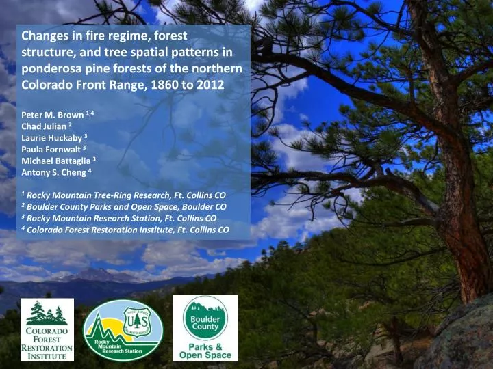
Changes in fire regime, forest structure, and tree spatial patterns in ponderosa pine forests of the northern Colorado Front Range, 1860 to 2012 Peter M. Brown 1,4 Chad Julian 2 Laurie Huckaby 3 Paula Fornwalt 3 Michael Battaglia 3 Antony S. Cheng 4

E N D
Changes in fire regime, forest structure, and tree spatial patterns in ponderosa pine forests of the northern Colorado Front Range, 1860 to 2012 Peter M. Brown 1,4 Chad Julian 2 Laurie Huckaby3 Paula Fornwalt3 Michael Battaglia3 Antony S. Cheng 4 1 Rocky Mountain Tree-Ring Research, Ft. Collins CO 2 Boulder County Parks and Open Space, Boulder CO 3 Rocky Mountain Research Station, Ft. Collins CO 4 Colorado Forest Restoration Institute, Ft. Collins CO
Picnic Rock (2004) High Park (2012) Bobcat Gulch (2000) Big Elk (2002) Overland (2003) Four Mile (2010) Black Tiger (1989) Buffalo Creek (1996) Hi Meadow (2000) Hayman (2002)
Front Range Forest Reconstruction Network* 2012 Field Season: 13 Landscape Units 73 0.5 ha plots (3 to 7 plots in each unit) Funded by: Colorado Forest Restoration Institute Arapahoe-Roosevelt National Forest Pike-San Isabel National Forest Rocky Mountain Research Station Boulder County Parks and Open Space Rocky Mountain Tree-Ring Research
FRFRNet Methods: 1. Stem map pre-settlement trees within 0.5 ha plots; -2. Subsample age structure and post-settlement structure in 4 500 m2 subplots; 3. Collect all fire-scar evidence in plot and surrounding area.
Lyons Boulder County Parks and Open Space Hall Ranch
http://photosynth.net/view.aspx?cid=b5b79dde-55e2-4d01-9d3e-2ae09cd74a6fhttp://photosynth.net/view.aspx?cid=b5b79dde-55e2-4d01-9d3e-2ae09cd74a6f
Trees ac-1 Current Historical
Terrestrial LIDAR scan profile forHeil Ranch plot 13 Data from Jason M. StokerUSGS Earth Resources Observation and Science (EROS) Red line = DBH
Current Conditions A D Fuels Treatment B E Restoration C F
Pre- Post- “Old” DBH (cm) “Transitional” “Young” “Pre-settlement” (ca 1880) living trees, defined as ≥ 25 cm dbh OR by morphology “Post-settlement” living trees, defined as < 25 cm dbh OR by morphology DBH (cm)