Download
1 / 14
140 likes | 147 Views
Land use, poverty & environment Preliminary findings. Presentation Overview. Assembling & mapping indicators Combining database analysis & case study findings Poverty & environment questions & tentative answers. Assembling & mapping indicators. Assembing & mapping indicators.

E N D
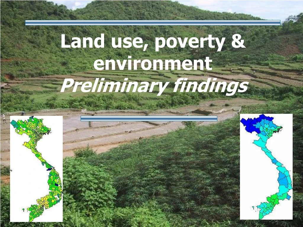
Land use, poverty & environment Preliminary findings
Presentation Overview • Assembling & mapping indicators • Combining database analysis & case study findings • Poverty & environment questions & tentative answers
Assembing & mapping indicators • Upland / lowland divide is a major theme for land use and poverty & environment analysis in the region
Assembling & mapping indicators • District-level indicators are a powerful poverty & environment tool … but data is often not available / reliable
Assembling & mappingindicators • Are % of forest land & trends a contrast indicator (upland / lowland, regions), or a causal indicator of poverty & environment? 1995 2000
Assembling & mappingindicators • Commercial logging (natural forest zoned for production): mapping location? understanding access?
Assembling & mapping indicators • Do poverty & environment linkages differ among categories of ethnic communities?(Location of “Southern groups”)
Complete assembling database : actual forest cover rate National analysis of selected district-level indicators Additional analysis for 3 case study provinces Comparative analysis in surveyed communities Combining case study findings and database analysis