Download
1 / 13
130 likes | 304 Views
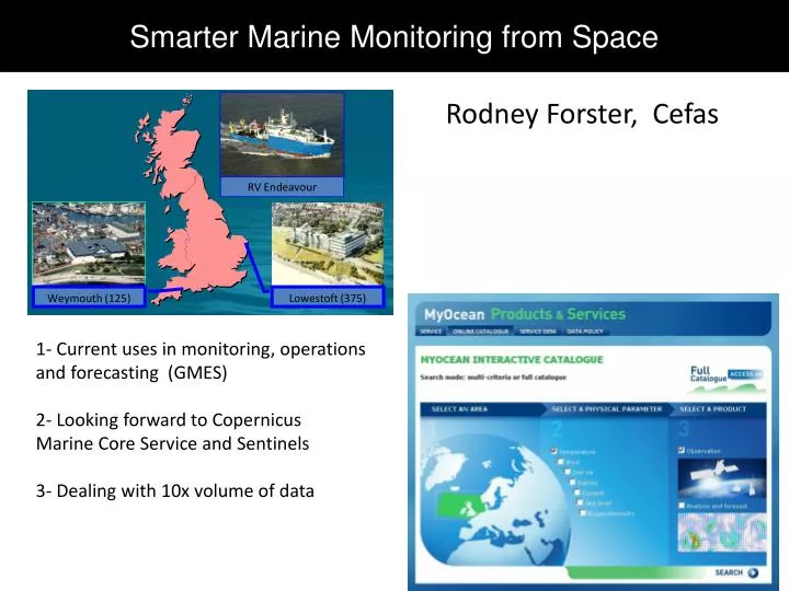
Smarter Marine Monitoring from Space. Rodney Forster, Cefas. RV Endeavour. 1- Current uses in monitoring, operations and forecasting (GMES) 2- Looking forward to Copernicus Marine Core Service and Sentinels 3- Dealing with 10x volume of data. Weymouth (125). Lowestoft (375).

E N D
Smarter Marine Monitoring from Space Rodney Forster, Cefas RV Endeavour 1- Current uses in monitoring, operations and forecasting (GMES) 2- Looking forward to Copernicus Marine Core Service and Sentinels 3- Dealing with 10x volume of data Weymouth (125) Lowestoft (375)
Marine user segment Ocean colour from space SeaWIFS / MODIS / MERIS 1997 – 2014 Sediments and optics Chlorophyll and algal blooms
UK water quality assessment - chlorophyll Validated chlorophyll time series using mix of satellite (MERIS, MODIS, Sentinel) and in situ (buoys, ferrybox, ships, CPR)
Autonomous marine observations in support of offshore wind Space, airborne and in situ observations can be of great use to offshore wind industry Viewing angles of LiDAR for within farm wind fields Regional scale wind mapping from satellite SAR; wake effects with airborne SAR Norsewind project (Hasager et al.) Research at Cefas – looking at the local effects of windfarms on cloud and fog formations using ocean colour satellite obs.
Autonomous marine observations in support of offshore wind Imaging of windfarm environment using visible satellite imagery Very High Resolution (1m) QuickBird, RapidEyesingle monopile High Resolution (25-60m) Landsat, DMC, Sentinel II farm scale Moderate Resolution (300m -1000m) MERIS, MODIS Sentinel-III regional scale
Autonomous marine observations in support of offshore wind Ebb tide 12th September 2013 Flood tide 3rd September 2013
Imaging from geostationary satellite Diurnal variability of Turbidity (RBINS, Cefas) SEVIRI In situ MODIS Turbidity (FNU) [Neukermans et al, 2012; Neukermans, 2012]
Imaging from geostationary satellite SEVIRI In situ MODIS 60% clouded Quasi cloudfree Turbidity (FNU) remotely sensed ( ) vs. in-situ ( , ) diurnal variability of turbidity t(Tmax) t( ) [Neukermans et al, 2012; Neukermans, 2012]
FP7 Space call HIGHROC (2014-2018) • “High spatial and temporal resolution ocean colour products and services” • EU/FP7 funded: 2014-2017 • Consortium: RBINS/MUMM, UPMC/LOV, NIVA, BC, VITO, CEFAS High spatial resolution Sentinel-2 Medium resolution Ocean Colour MERIS, MODIS … Sentinel-3/OCLI High temporal resolution MSG/SEVIRI 300m, 1day 10m GMES Downstream Services e.g. MARCOAST 15mins HIGHROC HIGHROC New applications: Windfarms, dredging, etc. End-Users: EU Water + Marine Strategy Framework Directives Join HIGHROC User Group for fasttrack access to the new products