Download
1 / 11
110 likes | 217 Views
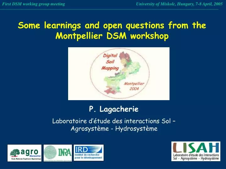
First DSM working group meeting University of Miskolc, Hungary, 7-8 April, 2005. Some learnings and open questions from the Montpellier DSM workshop. P. Lagacherie Laboratoire d’étude des interactions Sol – Agrosystème - Hydrosystème. The Workshop topics.

E N D
First DSM working group meeting University of Miskolc, Hungary, 7-8 April, 2005 Some learnings and open questions from the Montpellier DSM workshop P. Lagacherie Laboratoire d’étude des interactions Sol – Agrosystème - Hydrosystème
The Workshop topics TOPIC 1 INTRODUCTION & BACKGROUND TO DIGITAL SOIL MAPPING (1 paper) TOPIC 2 PROGRESS, EXAMPLES AND ECONOMICS OF DIGITAL SOIL MAPPING (12 papers) TOPIC 3 SAMPLING METHODS FOR CREATING DIGITAL SOIL MAPS (4 papers) TOPIC 4 REPRESENTATION OF DIGITAL SOIL MAPS (5 papers) TOPIC 5 QUALITY ASSESSMENT OF DIGITAL SOIL MAPS (4 papers) TOPIC 6 NEW ENVIRONMENTAL COVARIATES, & NEW SOURCES OF ENVIRONMENTAL COVARIATES, FOR DIGITAL SOIL MAPPING (8 papers) TOPIC 7 QUANTITATIVE MODELLING FOR PREDICTING SOIL CLASSES AND ATTRIBUTES (23 papers)
Outline • DSM: some generic comments • New environmental covariates and new sources of environmental covariates for DSM • Collecting soil data • Building DSM functions • Evaluating the quality of digital soil maps • Representation of Digital Soil Mapping outputs
DSM: some generic comments and questions • DSM is expected to work better than conventional surveys • DSM requires capital input and mixed skill teams • Which DSM outputs? • How to graft DSM on to existing soil database programs?
New environmental covariates and new sources of environmental covariates for DSM • Great variety of environmental covariates tested. DEM remains the most common • Need to express the mental models of pedogenesis to select the appropriate covariables • Preprocessings of covariates (classifications, decomposition of scale factors) • How to deal with newly available covariates in the future?
Collecting soil data for DSM • Only a few contributions to this topic • Sampling methods based on statistical and geostatistical techniques • Which criteria for a DSM sampling? How to deal with them? • From site sampling to area sampling: is this different ? • How to use existing soil data?
Building DSM functions • Topic 7 was the most populated • Mostly non-spatial approaches • Soil surveyor approaches vs pedometric ones • How to better associate soil surveyors and pedometrician? • How to deal with multiscale soil variations? • How to deal with variations in time?
Evaluating the quality of digital soil maps • A critical point • Need of an unified framework of quality assessment • The quality information must be meaningful to users • How to validate area soil prediction? • How to validate quality according to each user application? • How to communicate quality to the users?
Representation of Digital Soil Mapping outputs • The traditional 2D choropleth map is insufficient • Modern GIS and visualization tools can be used to valorize DSM to the users…. • …and to assist us in building DSM functions • Which compromise between quantity of displayed information and complexity? • Can visualisation tools and web be used to promoteDSM ? • How far must we go?
To go further • From the research phase to actual production of soil maps and soil data • Need of a generic tool : Spatial Soil Inference System ? • Let’s organize us • Structure a research project • Select pilot areas that cover the various data configuration within Europe • Create a common DSM toolbox with easy available functions • Build a Version 0 of a Digital Soil Mapper
A Spatial Soil Inference System ( Lagacherie & McBratney, 2005) Spatial Soil Information System DSM Function library Scorpan F. Pedotransfer F Class Content F. Allocation F. Function organiser Scorpan layers Existing Soil map Predictor OUTPUT X RS image DTM Soil observations User interface User data