Download
1 / 36
390 likes | 892 Views
Geographic Tools. By E.I. See. Montgomery County Public Schools, Maryland Grade 4 Integrated Curriculum 2012. Eisenhower Tunnel. Eisenhower Tunnel. Eisenhower Tunnel. Eisenhower Tunnel. Eisenhower Tunnel. Eisenhower Tunnel. Eisenhower Tunnel. Eisenhower Tunnel Facts.

E N D
Geographic Tools By E.I. See • Montgomery County Public Schools, Maryland • Grade 4 Integrated Curriculum 2012
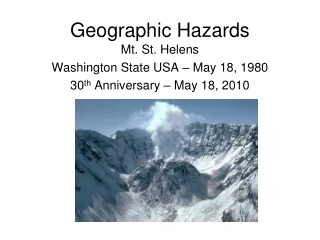
Eisenhower TunnelFacts • Longest mountain tunnel • Highest point on the Interstate Highway system • Crosses Continental Divide in Rocky Mountains • Highest vehicular tunnel in the United States • Passes under Loveland Pass
Port of South Louisiana Stretching 54 miles from New Orleans to Baton Rouge, the Port of South Louisiana is the largest bulk cargo port in the world.
Point State Park • The park is located at the confluence, or meeting of the Allegheny and Monongahela Rivers which meet to form the Ohio River in western Pennsylvania. • Pearson #16879 Pennsylvania elevation map
Point State Park • Within the park are remains of two historically significant forts - Fort Duquesne and Fort Pitt. Remains of Ft. Duquesne Fort Pitt Blockhouse
Point State Park The fountain at the tip of Point State Park uses water from an aquifer, or rock through which ground water flows. This aquifer runs underneath the park and is part of an ancient river channel that is now filled with rock and gravel known as the Wisconsin Glacial Flow.
Grand Canyon Skywalk • According to the graph, about how far is it from the Skywalk to the Colorado River below?
Grand Canyon Skywalk Colorado River flowing below the Grand Canyon
Fourth Street Elevator • This funicular, or rope-operatedrailway, is found in Dubuque, Iowa, one of the few cities in Iowa with hills. • It began operation in 1882, taking passengers from Fenelon Street on the top of the hill to Fourth Street below. • From the observation deck at the top of the funicular, three states can be seen. • It claims to be the shortest railway in the world (but many funiculars do…).
Fourth Street Elevator View of the Mississippi River from the 4th Street Elevator Observation Deck