Download
1 / 13
130 likes | 270 Views
“Beach recreation planning using video systems for coastal stability problems on natural beaches†University of Cantabria (UCa). “Beach recreation planning using video systems for coastal stability problems on natural beachesâ€. Issues and necessities Estimation of beach carrying capacity

E N D
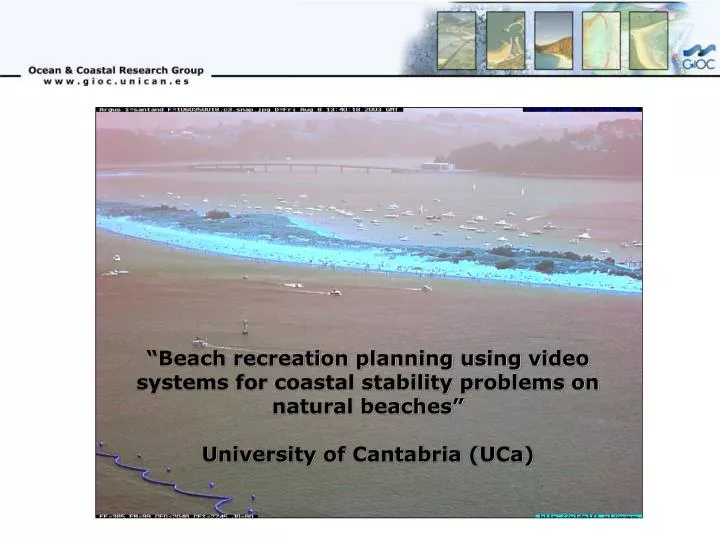
“Beach recreation planning using video systems for coastal stability problems on natural beaches” University of Cantabria (UCa)
“Beach recreation planning using video systems for coastal stability problems on natural beaches” • Issues and necessities • Estimation of beach carrying capacity • Video-derived CSIs at “El Puntal” • Methodology and algorithm used • Results and discussion
Beach services Lifeguard stations • Issues and necessities • Estimation of beach carrying capacity • Video-derived CSIs at “El Puntal” • Methodology and algorithm used • Results and discussion Beach accesses Security sign
Beach user density • Issues and necessities • Estimation of beach carrying capacity • Video-derived CSIs at “El Puntal” • Methodology and algorithm used • Results and discussion The beach carrying capacity can be analysed from many different parameters Spatial and temporal distribution
Issues and necessities • Estimation of beach carrying capacity • Video-derived CSIs at “El Puntal” • Methodology and algorithm used • Results and discussion
Issues and necessities • Estimation of beach carrying capacity • Video-derived CSIs at “El Puntal” • Methodology and algorithm used • Results and discussion Video imagery 15 Jul 2003 – 15 Sep 2003 Main Access to the beach Argus DB
Issues and necessities • Estimation of beach carrying capacity • Video-derived CSIs at “El Puntal” • Methodology and algorithm used • Results and discussion Area Selected
Issues and necessities • Estimation of beach carrying capacity • Video-derived CSIs at “El Puntal” • Methodology and algorithm used • Results and discussion The kernel algorithm employing a NxN (e.g. 3x3) pixel neighborhood AVEA = (DN1 +DN3 + DN7 + DN9)/4 AVEB = (DN2 +DN4 + DN6 + DN8)/4 DN1 DN2 DN3 DIFF = | AVEA - AVEB | THRESH = DIFF X WEIGHT IF : |DN5 – AVEA| or |DN5 – AVEB| > THRESH THEN: Is counted DN4 DN5 DN6 DN7 DN8 DN9
Issues and necessities • Estimation of beach carrying capacity • Video-derived CSIs at “El Puntal” • Methodology and algorithm used • Results and discussion The kernel is moving around selected area
Issues and necessities • Estimation of beach carrying capacity • Video-derived CSIs at “El Puntal” • Methodology and algorithm used • Results and discussion The spatial distribution of beach user was found after the algorthm was applied C3, Sat – 9/Aug/2003, 13:10
Issues and necessities • Estimation of beach carrying capacity • Video-derived CSIs at “El Puntal” • Methodology and algorithm used • Results and discussion With the data of beach user position was estimated the distance from the bridge to each person Histogram of walking distances from beach access to sunbathing place on August 2003. The peak is ~ 150 m Distance from the main access (m)
Issues and necessities • Estimation of beach carrying capacity • Video-derived CSIs at “El Puntal” • Methodology and algorithm used • Results and discussion Log-normal distributions of optimal distance from shoreline on August 9, 2003 The peak is ~ 50 m Distance from shoreline (m)
Issues and necessities • Estimation of beach carrying capacity • Video-derived CSIs at “El Puntal” • Methodology and algorithm used • Results and discussion