Download
1 / 24
240 likes | 351 Views
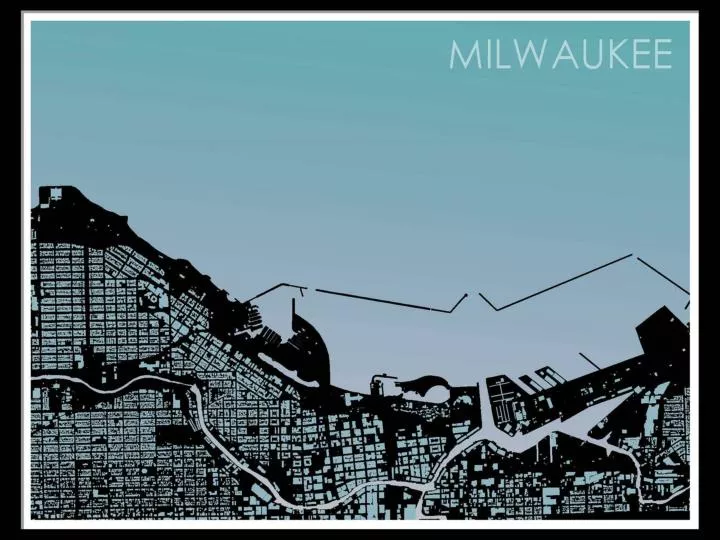
2014 WLIA Annual Conference Middleton, WI. Milwaukee County’s Multi-purpose Basemap Bill Shaw MCAMLIS Project Manager Kevin Bruhn Senior GIS Analyst Milwaukee County Land Information Office. PLANIMETRIC FEATURES (building footprints, etc.). ORTHOGRAPHIC & OBLIQUE IMAGERY.

E N D
Land Information Office 2014 WLIA Annual Conference Middleton, WI. Milwaukee County’s Multi-purpose Basemap Bill Shaw MCAMLIS Project Manager Kevin Bruhn Senior GIS Analyst Milwaukee County Land Information Office
PLANIMETRIC FEATURES (building footprints, etc.) ORTHOGRAPHIC & OBLIQUE IMAGERY ELEVATION & CONTOURS STREET CENTERLINE & ADDRESSES CADASTRAL (parcels, etc.) Land Information Office Countywide 1:100 Scale Mapping LAND DEVELOPERS & ENGINEERS EDUCATIONAL INSTITUTIONS DIGGERS HOTLINE EMERGENCY SERVICES UTILITIES GOVERNMENT AGENCIES NON-PROFITS MUNICIPALITIES
Land Information Office Early Planimetric & Topographic Delivery Cycle
Land Information Office 2004-2009 Topographic & Planimetric Delivery
Land Information Office 2009 LiDAR Pilot Photogrametric and LiDAR DEM
Land Information Office 2010 LiDAR QL2 = NPS .7 meter
Land Information Office 8 classifications - 117 Feature Types Appox. 6.4 million features Environmental – 6 (903,393) Hydrologic – 7 (83,593) Parks – 4 (6,488) Planimetric – 37 (1,348,500) Survey_Control – 8 (1,588) Topographic – 19 (1,540,598) Transportation – 28 (2,271,565) Utilities – 8 (270,695)
Land Information Office Hillshade DEM
Land Information Office Demonstration