Download
1 / 40
400 likes | 563 Views
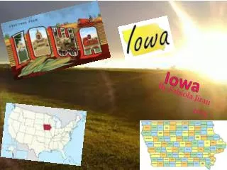
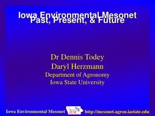
Iowa Environmental Mesonet. National Weather Association Conference March 22, 2002 Dennis Todey Iowa State University. IEM Timeline. Concept Conceived State Drought Task Force 10/00 Introduced to IDALS 12/00 USDA/WAOB Visit 1/01 Funding 4/01 Web Site on line 6/01.

E N D
Iowa Environmental Mesonet National Weather Association Conference March 22, 2002 Dennis Todey Iowa State University
IEM Timeline • Concept Conceived State Drought Task Force 10/00 • Introduced to IDALS 12/00 • USDA/WAOB Visit 1/01 • Funding 4/01 • Web Site on line 6/01
What we are lacking • Central data facility (archive) Achieved • Data comparison standards Proposed (some occurring) • Detailed soil temperature data • Regular soil moisture data Adding spring ‘02 • Short term archive (2 days - 6 weeks) In progress • Improved spatial and temporal resolution In progress (SCAN/CRN Schoolnet)
Current Data Collection • ASOS 15 24 • AWOS 33 72 • RWIS 50 72 • ISU Ag Climate 12 24 • USGS/COE ~150 24 avg • Schoolnet 37 1200 • SCAN 1 24 • COOP ~150 1 • Total: 448 Stations 44,772 obs/day 16.3 M obs/yr
Data reliability (since June 1) • ASOS 87% (99.6% Dec. 14-31) • AWOS 72% (90% Dec. 14-31) • RWIS 77% (of working stations) • ISU Ag Climate 100% • SCAN 100% • USGS/COE ???
Data storage • NEXRAD 7.5 MB/day (5 sites) • Products/plots 1.5 MB/day • GEMPAK surface data 7.5 MB/day • Raw surface data 12 MB/day • Daily Total 28.5 MB/day
Spurring research • Iowa Soil Erosion estimates • Detailed climate of Iowa • Maize Pollen dispersion • Pathogen transfer • Data Comparison standards • Part of Larger Agronomy Agro-ecosystem lab
Future of the IEM • Continue station development (fill holes) • Expand measurement of rainfall/soil moisture • Look for continued funding • Upper air development
Spurring research (undergrad) • SW Iowa Heat/Moisture Pool • Comparison of RWIS AWOS/ASOS overnight temperatures • Wind speed comparisons • Frost Model Comparisons (Tina Greenfield)
Potential Users • Farmers/Producers • Emergency managers • Citizenry • Ag/Insurance Industry • Education (K – graduate) • Climate/agricultural researchers • NWS
Cooperators/Supporters • National Weather Service • Iowa State University • USDA OCE • Iowa DOT • IDALS • Iowa Emergency Management • Ag Insurers
Improve collaboration among scientists and managers to enhance the effectiveness of observation networks, monitoring, prediction, information delivery, and applied research and to foster public understanding of and preparedness for drought.Goal 2 National Drought Policy Commission“Preparing for Drought in the 21st Century”
Data Requests/Issues • Freeze-Notice use of pavement temperatures • Request for advance soil moisture data • Usage fee/subscriptions • Cooperators/collaborators? • Federal discussion of including data • Lack of weather data for Iowa
SCAN (Soil Climate Analysis Network) • Air and soil temperature • Wind • Relative humidity • Precipitation • Soil moisture • Solar radiation • Snowfall and depth