Download
1 / 7
70 likes | 78 Views
Learn about Ecotrust's mission to utilize open source GIS technology for rapid problem-solving, cost savings, and a greater audience reach. Discover their web-based decision support tools and "Salmon Nation" data repository.

E N D
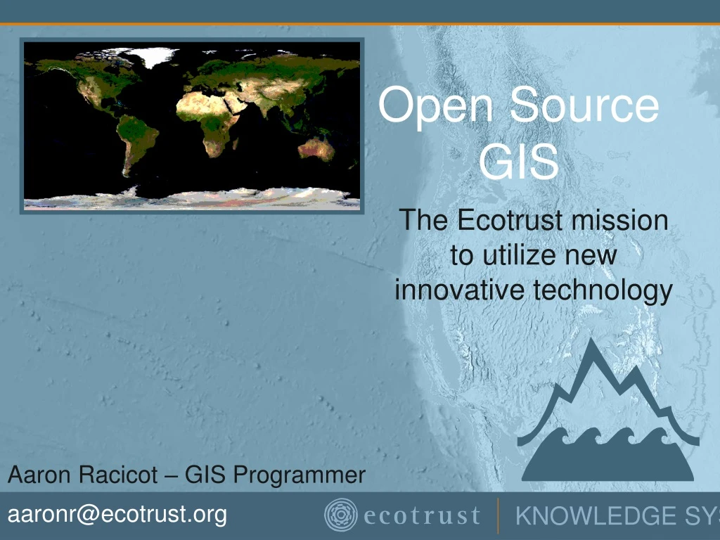
Open Source GIS The Ecotrust mission to utilize new innovative technology Aaron Racicot – GIS Programmer aaronr@ecotrust.org
Goals • Utilize Open Source Technology • Save on cost • Rapid response to problems • Be an active participant in a community • Develop web-based decision support tools • Gain a greater audience • Migrate from relying on complex/proprietary desktop software for simple GIS tasks • Create a “Salmon Nation” data repository • Automated data mining • Seamless data sets • WMS/WFS/OPeNDAP server/client
Open Source Technology • Fedora Core 3 • Apache 2.0.52 • PHP 4.3.10 • PostgeSQL 8.0.1 • GEOS 2.2.1 • PostGIS 1.0.0 • GDAL/OGR 1.2.5 • Proj.4 4.4.9 • Mapserver 4.4.2 • Grass 6.0.0 International User Groups Conferences Source Code Email/Web forums
Key Pieces • Mapserver Web Based Mapping • Can be run as CGI or as script • Utilizes SWIG to create Mapscript environment • Interfaces to GDAL/OGR for raster and vector processing • Interfaces to PostGIS and SDE • Faster than ArcIMS • PostgreSQL/PostGIS • Dynamic relational database with OGC compliant interfaces • Mainly focused on vector storage, but soon to support rasters
Web-based decision support tools • Utilize powerful GIS on backend and web based GIS on front end. • GRASS – used for vector and raster based processing via command line calls from PHP. • Mapserver used to directly display results from online analysis • A new way of looking at senario based decision making • Allowing users to interact • Automated file upload and run management • Web-based polygon capture for senario based simulation • Ocean Planner - Demo
“Salmon Nation” data repository • Ecotrust has a geographic area of interest in the area known as Salmon Nation. • Data stored in common formats (ArcINFO/GRID, PostGIS, Shapefiles, GTiff, etc) • Seamless data where posible • Automated data mining for easy data refresh • Web-based interfaces for both intranet and internet access • Seamless data extraction over arbitrary areas by chopping files or aggregating multiple files • Serve our data via WMS/WFS/OPeNDAP • Use remote data when possible
Cool projects underway • Base data compilation • All TIGER data for USA. Compiled and processed • 10 Meter DEM automated download • Keyhole like zooming • Siuslaw Watershed – Demo • User based interfaces • Utilizing PHP sessions • Custom upload/download • Saved state between sessions • Applet development