Download
1 / 10
100 likes | 273 Views
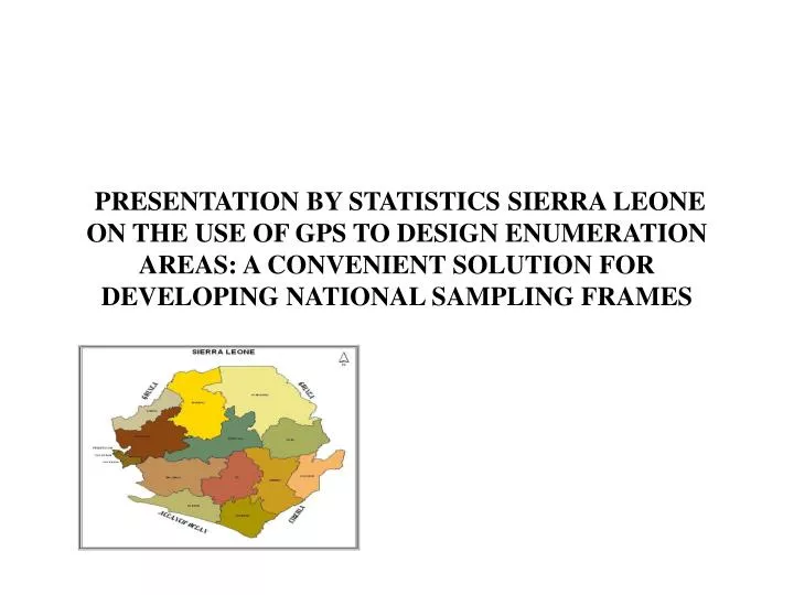
PRESENTATION BY STATISTICS SIERRA LEONE ON THE USE OF GPS TO DESIGN ENUMERATION AREAS: A CONVENIENT SOLUTION FOR DEVELOPING NATIONAL SAMPLING FRAMES. GEOGRAPHY OF SIERRA LEONE. DATA COLLECTION. Georeferencing of urban and rural maps at scales of 1:25,000 and 1:50,000 respectfully.

E N D
PRESENTATION BY STATISTICS SIERRA LEONE ON THE USE OF GPS TO DESIGN ENUMERATION AREAS: A CONVENIENT SOLUTION FOR DEVELOPING NATIONAL SAMPLING FRAMES
DATA COLLECTION • Georeferencing of urban and rural maps at scales of 1:25,000 and 1:50,000 respectfully. • Printing of maps with UTM co-ordinates for use in the field. • Collection of GPS (Garmin 12) co-ordinates of the following • Localities • Administrative boundaries • Educational institutions • Health facilities • Other social facilities eg. Churches,mosques etc.
DATA CAPTURE • Fair drawing and demarcation of enumeration areas and administrative boundaries using GPS co-ordinates and natural features. • Data entry of GPS co-ordinates using excel • Conversion of GPS co-ordinates into dbase iv for processing in Arcview • Scanning of map sheets using AO scanner. • On-screen digitization of administrative boundaries down to EA level. • Editing and cleaning of EA shapefile using ArcEditor. • Linking of census database to EA shapefile for analytical planning with respect to health,education,agriculture etc.
USE OF EA DATA BASE • National sampling frame • Delimitation of electoral wards • Reproduction of constituency maps • Reproduction of administrative maps (District,chiefdom and sections) • Spatial distribution of health and educational facilities