Download
1 / 19
190 likes | 362 Views
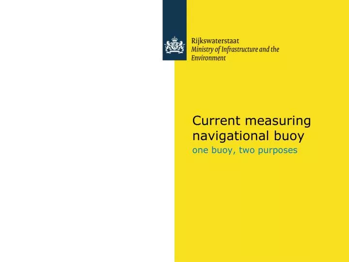
Current measuring navigational buoy. one buoy, two purposes. Improving information supply to large ships entering the Port of Rotterdam by combining navigational and measurement facilities in a buoy. Peter Verburgh , Rijkswaterstaat Information Supply division (CIV). Outline of presentation.

E N D
Current measuring navigational buoy one buoy, two purposes
Improving information supply to large ships entering the Port of Rotterdam by combining navigational and measurement facilities in a buoy Peter Verburgh, Rijkswaterstaat Information Supply division (CIV)
Outline of presentation • Rijkswaterstaat, a brief company overview • Situation • Present data supply • Reasons for renovation • Why a buoy? • What buoy to use? • The deployment • The data • Summary, conclusions and time for discussion.
Rijkswaterstaat • Part of the Dutch Ministry of Infrastructure and the Environment • Responsible for design, construction, management and maintenance of: • the main road network • the main waterway network • the main watersystems
Central Information Services CIV provides reliable and fit-to-business information for Rijkswaterstaat Peter is project manager at CIV
Situation Very busy shipping area Large ships need information to enter Rotterdam harbor safely
Present information supply • Meteo • Waves • Current from 2-D model • Current from pole • Tide
Present information supply • Wind • Waves • Current from 2-D model • Current from pole • Tide
Reasons for renovation • Better predictions • 3D information instead of 2D • Reduction of maintenance costs • Present measurement pole “Maasmond” out of order
Future information supply • Meteo • Waves • Tide • Current from 3-D model • Surface current from HF-radar • Current from buoys
Why a buoy? • Relatively low cost solution compared to pole (100k vs 1000k€) • Relatively short time to put into practice (8-10 months vs 2 yrs) • Easy to change the location • Low cost of ownership (maintenance is done on-shore) Disadvantages: • Vulnerable • Little space for solar panels, therefore very limited power • No fixed location, it moves on its anchor • The ADCP is constantly moving
What buoy to use • Commercially available measurement buoys • Specifically designed measurement buoy • Lesson learned from previous development in Zeeland • Operational requirements Decision: Buoys will be based on ‘Zeeland’-buoy
The production • An existing contract for navigational buoys was used (no tender) • Order based on functional rather than technical specifications • Supplier is responsible for proper functioning • Rijkswaterstaat is responsible for data-connection (on-line!) • Rijkswaterstaat is responsible for deployment
The production Flotation segments from France (Mobilis) Central cylinder made in the Netherlands (Rombouts) Electronics designed and made in France (Mobilis) ADCP and UMTS/GPRS supplied by RijkswaterstaatCIV Put together in the Netherlands (Mobilis/Rombouts) Two buoys, one spare ‘measurement-core’
The deployment Froma.l. tob.r: The vessel ‘Rotterdam’, the buoy ‘Maas-Oost’ in the crane of the ‘Rotterdam’, bothbuoysandsparecore on deck of the ‘Rotterdam’, the buoy ‘ODAS-MV’ on location
The data • First brief impression: looks acceptable… • Comparison with model output: reassuring! • Evaluation versus separate measurement with shipborne ADCP ongoing
The data Difficulties encountered: • One of the beams seems to reflect from the anchoring chain • Occurrence of ‘moving bottom’ may reduce accuracy • Complex data conversion suspect to introduce (timing)errors • Settings are location-dependent and have to be done very carefully
Summary • A navigational buoy can be succesfully transformed into a online measurement platform, while retaining its navigational purpose. • Vertical current profiles can be measured from a buoy • Take into account operational difficulties • It is not as ‘cheap’ a solution as some managers would like it to be
Questions / discussion Thankyouforyour attention! …Time forquestionsanddiscussion